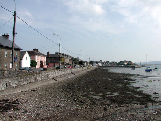
What is recorded here
Section of random rubble limestone quay wall, c.1820, with base batter, and squared rubble limestone coping to parapet. Extended to south/south-east, post-1940. Sited enclosing strand to east of Dungarvan Bay.
An important reminder of the maritime activities that historically supported the commercial and industrial economy of Dungarvan, this section of quay wall has been constructed using locally-sourced materials, thereby assimilating well into the landscape, and forms an attractive feature in the townscape.
This does not grant access. Most recorded buildings are privately owned; view them only from public ground unless the owner allows entry.
Places near here
 Kincorahouse · 33 yd
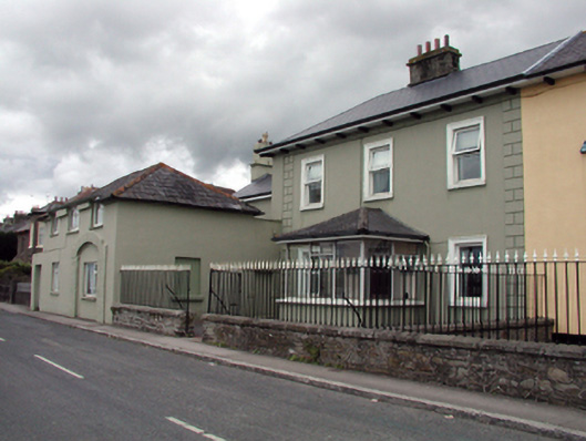 RIC barracksRIC barracks · 69 yd
 Dungarvan CastleCastle · 234 yd
 Dungarvan Castle (in Ruins)Castle, Anglo-Norman masonry castle · 235 yd
 Dungarvan World War I MemorialMemorial · 279 yd
 Structure in DungarvanStructure · 379 yd
 Castle (in ruins)Castle, tower house · 388 yd
 St. Catherines WellHoly well · 407 yd
 Waterford County MuseumMuseum · 450 yd
 Grattan SquareVisitor information · 489 yd
 Cunnigar PointHeadland · 756 yd
 Horse-chestnutHorse-chestnut · 1.9 mi
Other information
Photo: National Inventory of Architectural Heritage · Website use allowed for educational or private purposes with source credit