What is recorded here
Situated in pasture at the bottom of the valley of a NW-SE stream, with the stream c. 50m to the W and S. It is probably the parish church of Fews which was derelict by the late 16th century (Power 1897b, 72-3). O'Donovan (O'Flanagan 1929, 38) records that the church and graveyard had been removed without trace by 1840. It is not visible at ground level. A natural spring, regarded as a holy well (WA015-026----), is c. 250m to SE.
Compiled by: Michael Moore.
Date of upload: 10th December, 2010.
The monument record does not grant public access. Check the route and ask the landowner before entering private land.
- What survives
- Recorded monument
Places near here
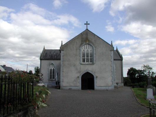 Saint Anne's Catholic ChurchOfficially recorded historic building · 147 yd
 Holy WellHoly well · 279 yd
 Embanked enclosureFairy fort / earthen ringfort · 1737 yd
 Castle (in ruins)Castle, unclassified · 1.4 mi
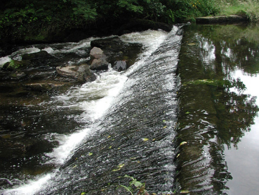 weirweir · 1.6 mi
 Site of Cas.Castle, unclassified · 1.7 mi
 8 Arch GalleryGallery · 1.7 mi
 Croughaun HillMountain / peak · 2.0 mi
 Kilclooney WoodForest · 2.3 mi
 Crough WoodWood · 2.6 mi
 Magic Road (finish)Heritage attraction · 3.2 mi
 LackaduffMountain / peak · 3.7 mi