What is recorded here
In level pasture. Graveyard depicted on 1842 OS 6-inch map as oval enclosure (c. 28m N-S; c. 35m E-W) defined by broken line, with rectangular structure (c. 12m E-W; c. 7m N-S) in centre defined by broken line and named 'Killee Church (site of)' (CO019-013002-). No visible surface trace of either church or graveyard except perhaps for some stones protruding through grass.
From the National Monuments Service (Archaeological Survey of Ireland) record CO019-013001
The monument record does not grant public access. Check the route and ask the landowner before entering private land.
- What survives
- Recorded monument
Places near here
Photo credits
- National Inventory of Architectural Heritage
- john salter, Geograph · Creative Commons Attribution-ShareAlike 2.0
- Neil Theasby, Geograph · CC BY-SA 2.0
- Mike Searle, Geograph · CC BY-SA 2.0
- CaitNi, Wikimedia Commons · CC BY-SA 4.0
- Colin Park, Wikimedia Commons · CC BY-SA 2.0
 Killee BridgeBridge · 337 yd
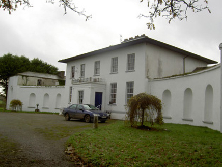 Killee HouseCountry house · 446 yd
 Saint Joseph's Catholic ChurchChurch/chapel · 1435 yd
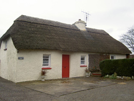 Cloghleafin LodgeHouse · 1.1 miGrave YardGraveyard · 1.2 mi
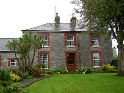 farmyard complex1.3 mi
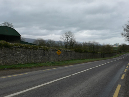 demesne walls/gates/railings1.5 mi
 Grave YardGraveyard · 1.7 mi
 John MandevilleMemorial · 2.5 mi
 Dunmahon Castle (in Ruins)Bawn · 4.8 mi
 CarrigeenamronetyMountain / peak · 5.1 mi
 Glanworth Castle (in Ruins)Castle, Anglo-Norman masonry castle · 5.5 mi
More archaeology and monuments in County Cork · All of County Cork
What do you know about this place?