What is recorded here
Situated on a slight rise in a low-lying landscape. The parish church of Kill St Lawrence (WA017-005001-) is within a rectangular, neglected graveyard (dims. c. 70m E-W; c. 40m N-S). The graveyard was used for famine burials and was enclosed by a rectangular masonry wall in the late 19th century. A fragment of what may be a 17th-century headstone (WA017-005003-) (Walton 1980, 70) was not located.
Walton, J. (1980) Pictorial decoration on east Waterford tombstones. Decies No. 14, 67-83.
Compiled by: Michael Moore
Date of upload: 19 July 2011
The monument record does not grant public access. Check the route and ask the landowner before entering private land.
- What survives
- Recorded monument
Places near here
 Kill St. Lawrence Church (in ruins)Church · 25 yd
 Hut site in Kill St. LawrenceHut site · 108 yd
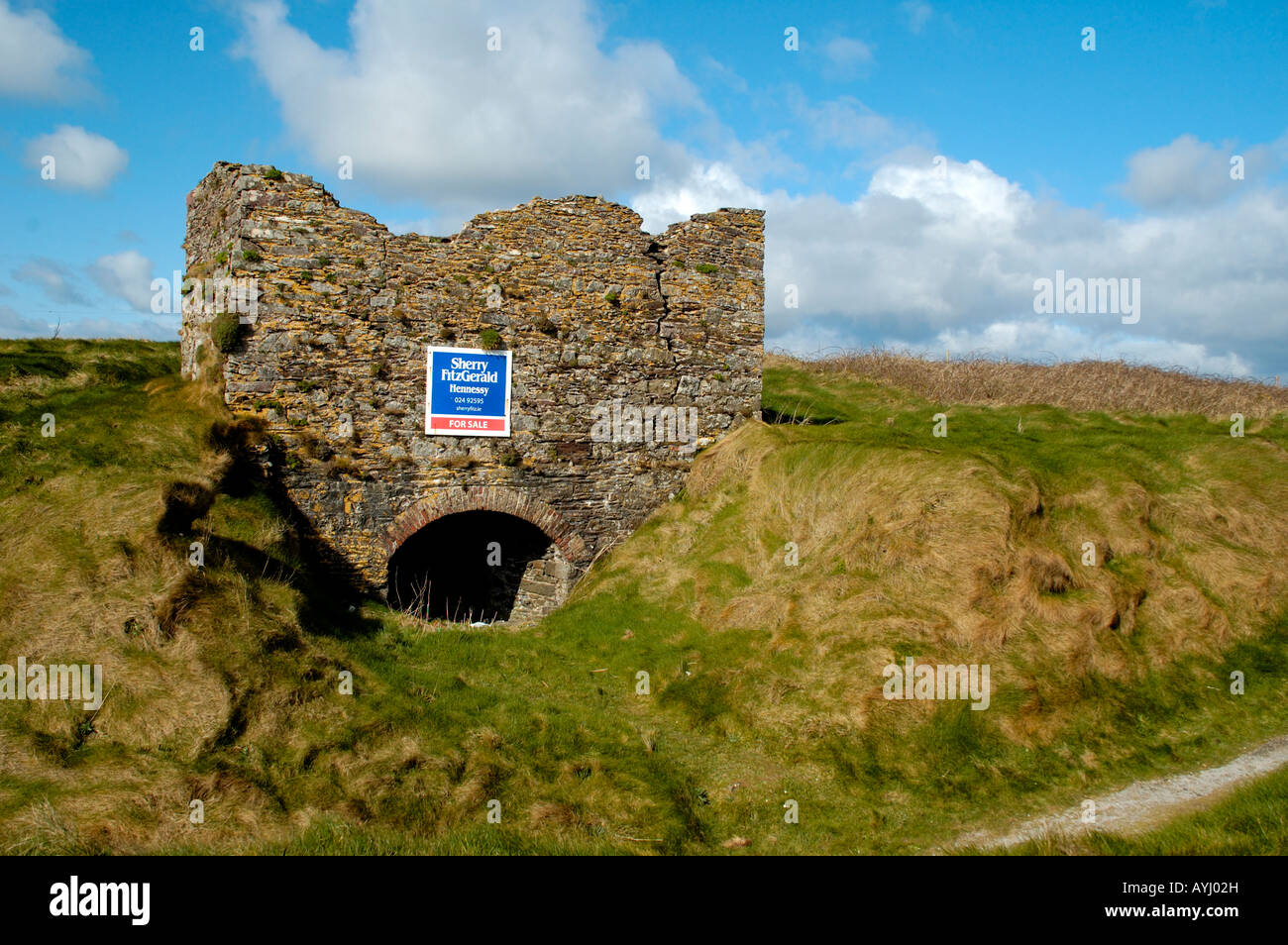 Kiln in CarrigavoeKiln · 457 yd
 Hearth in KilcohanHearth · 593 yd
 French TowerHeritage attraction · 1.8 mi
 Sugar Loaf RockMountain / peak · 3.2 mi
 Cullen Castle (in ruins)Castle, tower house · 4.2 mi
 Mount Congreve GardensHeritage attraction · 4.7 mi
 Corluddy Castle (in Ruins)Castle, tower house · 4.9 mi
 Monterey CypressMonterey Cypress · 5.0 mi
 Tramore Dunes WalkWalking route · 5.1 mi
 Tramore Tourist OfficeVisitor information · 5.2 mi