What is recorded here
Located at the crest of a small hill c. 250m S of the NW-SE Kigorman River, and c. 250m from the sea which is to the SE. The Parish church of Kilgorman (WX007-015001-) was within the subrectangular graveyard (dims. c. 55m N-S; c. 40m E-W) defined by an earthen bank. It has a raised central area (dims. 23m E-W; 18m N-S), and there is a graveslab (WX007-015004-) within the graveyard. The mound site (WX007-046----) is c. 20m to the SE, and the site of Kilgorman Well (WX007-015003-) is c. 20m outside the graveyard at SW.
Compiled by: Michael Moore
Date of upload: 15 March, 2012
The monument record does not grant public access. Check the route and ask the landowner before entering private land.
- What survives
- Recorded monument
Places near here
 Kilgorman Church (in ruins)Church · 17 yd
 Kilgorman WellArchaeological place · 45 yd
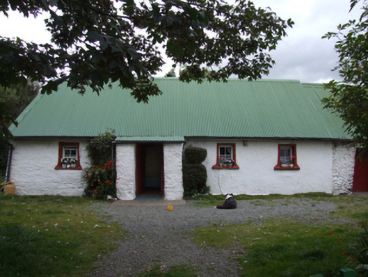 farm housefarm house · 1144 yd
 ToberpatrickHoly well · 1.3 mi
 Tara HillMountain / peak · 1.9 mi
 CastleCastle, unclassified · 1.9 mi
 Duffcarrig Rocks BeachBeach / strand · 3.6 mi
 Kia Ora Mini FarmHeritage attraction · 3.9 mi
 Clogga StrandBeach / strand · 4.1 mi
 Curragh WoodWood · 4.1 mi
 Arklow RockMountain / peak · 4.3 mi
 Holm OakHolm Oak · 4.5 mi