What is recorded here
John O'Donovan, writing c. 1840 (O'Flanagan, 1933, vol. 1, 3), records a mound (diam. of base. c. 18m; H c. 4m) about 'a hundred paces' SE of church site (WX007-0150001-) and a circular feature (diam. c. 20m) is marked on the 1839 ed. of the OS 6-inch map c. 20m SE of the graveyard (WX007-015002-), although it might be a sand-pit. It is not visible at ground level, but the monument may have been a motte.
The above description is derived from the published 'Archaeological Inventory of County Wexford' (Dublin: Stationery Office, 1996). In certain instances the entries have been revised and updated in the light of recent research.
Compiled by: Michael Moore
Date of upload/revision: 15 March, 2012
A Neolithic passage tomb, dating to the 4th–3rd millennium BCE; its significance lies in its association with early ceremonial and burial practices in the region.
The monument record does not grant public access. Check the route and ask the landowner before entering private land.
- What survives
- Recorded monument
Places near here
 Kilgorman WellArchaeological place · 100 yd
 Kilgorman Church (in ruins)Church · 102 yd
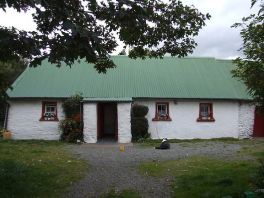 farm housefarm house · 1128 yd
 ToberpatrickHoly well · 1.3 mi
 Tara HillMountain / peak · 1.9 mi
 CastleCastle, unclassified · 1.9 mi
 Duffcarrig Rocks BeachBeach / strand · 3.6 mi
 Kia Ora Mini FarmHeritage attraction · 3.9 mi
 Clogga StrandBeach / strand · 4.1 mi
 Curragh WoodWood · 4.1 mi
 Arklow RockMountain / peak · 4.3 mi
 Holm OakHolm Oak · 4.5 mi