What is recorded here
A rectangular area (c. 65m E-W; max. c. 50m N-S) amidst the out-buildings at ‘Kildangan House’. The interior rises slightly towards the centre and burials date from the 18th to the 20th-century. There is no visible trace of the church (KD027-017----) shown in the interior on the 1st ed. (1838) of the OS 6-inch map.
From the National Monuments Service (Archaeological Survey of Ireland) record KD027-017001
This remains an important historical record, but the official description says the monument is no longer visible or has been destroyed. The monument record does not grant public access. Check the route and ask the landowner before entering private land.
- What survives
- No visible remains or recorded as destroyed
Places near here
Photo credits
- Sarah777 at English Wikipedia, Wikimedia Commons · Public domain
- National Inventory of Architectural Heritage
- Sitomon, Wikimedia Commons · CC BY-SA 2.0
- Eflmd, Wikimedia Commons · CC BY-SA 4.0
- Bernie, Wikimedia Commons · CC BY-SA 2.0
- Clemensfranz, Wikimedia Commons · CC BY 2.5
- Zairon, Wikimedia Commons · CC BY 4.0
- Credit not shown, Wikimedia Commons · Creative Commons Attribution-ShareAlike 4.0
- Mike Searle, Wikimedia Commons · CC BY-SA 2.0
 Catholic Church of Our Lady of VictoriesChurch/chapel · 1101 yd
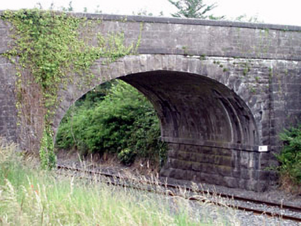 Oghill BridgeBridge · 1.4 mi
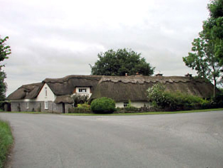 The Thatched CottageHouse · 1.6 mi
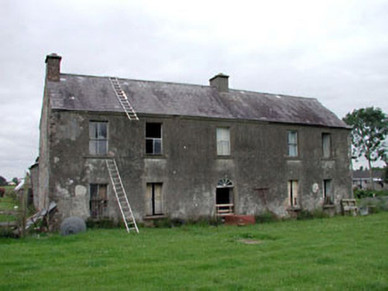 Clonegath HouseFarm house · 1.7 mi
 European Yew3.4 miEuropean Yew3.5 mi
 Holy well in Brallistown CommonsHoly well · 4.5 mi
 Japanese GardensHeritage attraction · 4.7 mi
 Irish National Stud and Japanese GardensHeritage attraction · 4.8 mi
 Round Tower5.1 mi
 IndicatedCastle, motte · 7.1 mi
 Lea Castle (in ruins)Castle, Anglo-Norman masonry castle · 7.4 mi
More archaeology and monuments in County Kildare · All of County Kildare
What do you know about this place?