
What is recorded here
Located on a rise in a level, low-lying landscape. A small circular feature is depicted on the 1834 and 1907 editions of the OS 6-inch map where it is described in italic lettering as ‘Grave Yard’. It is reputed to have been a Quaker burial ground (D’arcy 1897, 209), that was limited to members of the Whitside family (OSNB, 2, 157). This is a circular grass-covered area (diam. 18m N-S) defined by an earthen bank (at N: Wth of base 2.1m; int. H 0.4m; ext. H 1m) supporting mature deciduous trees. There is evidence of at least two graves in the interior and the enclosure has an entrance gate with masonry piers at E.
The above description is derived from the published 'Archaeological Inventory of County Monaghan' (Dublin: Stationery Office, 1986). In certain instances the entries have been revised and updated in the light of recent research.
D’Arcy, Dr. S. A. 1897 A crannoge near Clones. Journal of the Royal Society of Antiquaries of Ireland, vol. 27, 205-20, 389-403.
Date of revision: 30 August 2017
A local ancient tomb; wider significance not recorded.
The monument record does not grant public access. Check the route and ask the landowner before entering private land.
- What survives
- Recorded monument
Places near here
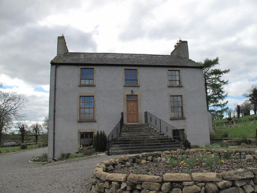 Kilcorran Househouse · 624 yd
 IndicatedCrannog · 837 yd
 ENCLOSURE in CloghmoreENCLOSURE · 1.1 mi
 Attack on Derryard checkpointterrorist attack · 1.4 mi
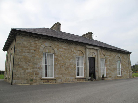 Loughoony Househouse · 2.0 mi
 Jaundice WellSpring · 2.7 mi
 Rough HillMountain / peak · 3.7 mi
 Roosky Castle (Site of)Castle, ringwork · 4.2 mi
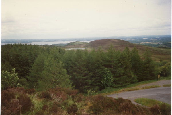 Annaghilly ForestForest · 4.3 mi
 PLANTATION TOWER-HOUSE & BAWN (unlocated) in ShannockPLANTATION TOWER-HOUSE & BAWN (unlocated) · 4.3 mi
 Sliabh Beagh Hotel and Tourism CentreVisitor information · 4.3 mi
 Lisarrilly HillMountain / peak · 4.4 mi
Other information
Photo: Credit not shown in the picture search · Rights wording not checked; contact us if this picture should be removed