
What is recorded here
Situated in pasture on a slight E-facing slope. The church of Kilcooney (WA013-028001-) is marked faintly as a rectangular building (dims. c. 20m E-W; c. 8m N-S) within a rectangular enclosure (dims. c. 45m E-W; c. 35m N-S) on the 1840 ed. of the OS 6-inch map, and described as a graveyard by J. O'Donovan c. 1840 (O'Flanagan 1929, 48). It is not visible at ground level.
O'Flanagan, M. (Compiler) (1929) Letters containing information relative to the antiquities of the county of Waterford collected during the progress of the Ordnance Survey in 1841. Typescript. Bray.
Compiled by: Michael Moore
Date of upload/revision: 12 November 2010
The monument record does not grant public access. Check the route and ask the landowner before entering private land.
- What survives
- Recorded monument
Places near here
 Site of ChurchChurch · 30 yd
 IndicatedEnclosure · 248 yd
 Sliabh gCuahouse · 1000 yd
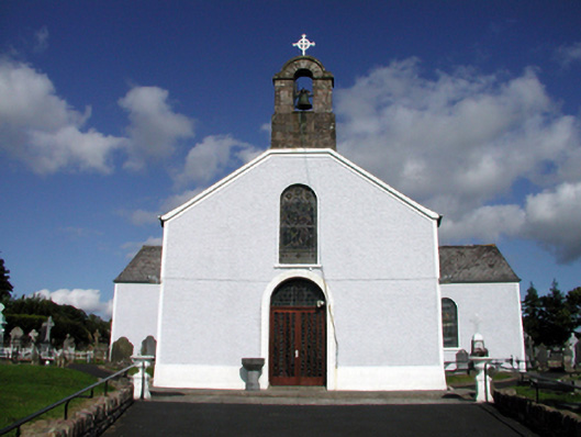 Saint Mary's Catholic ChurchOfficially recorded historic building · 1230 yd
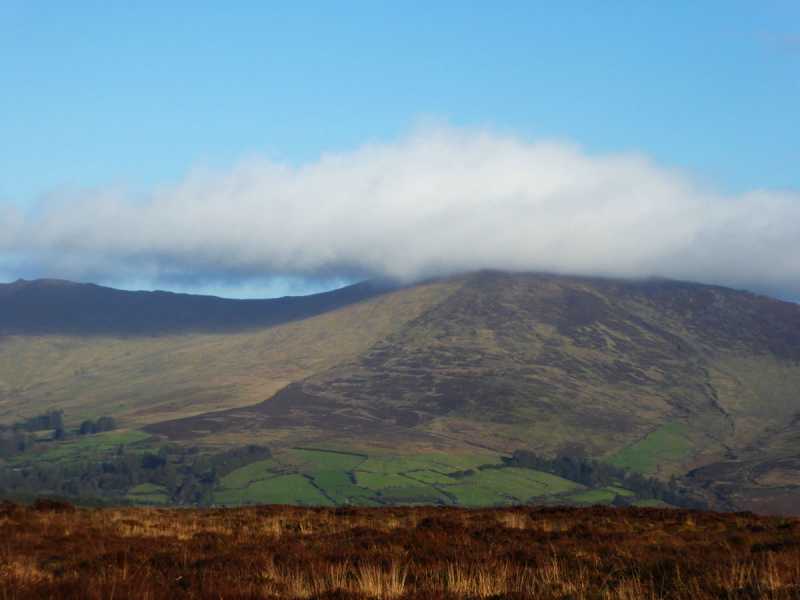 Bleantasour MountainMountain / peak · 3.4 mi
 Pigeon HillMountain / peak · 3.6 mi
 Standing StoneMemorial · 3.7 mi
 Site of CastleCastle, unclassified · 4.1 mi
 Curraghcloney CastleCastle · 4.3 mi
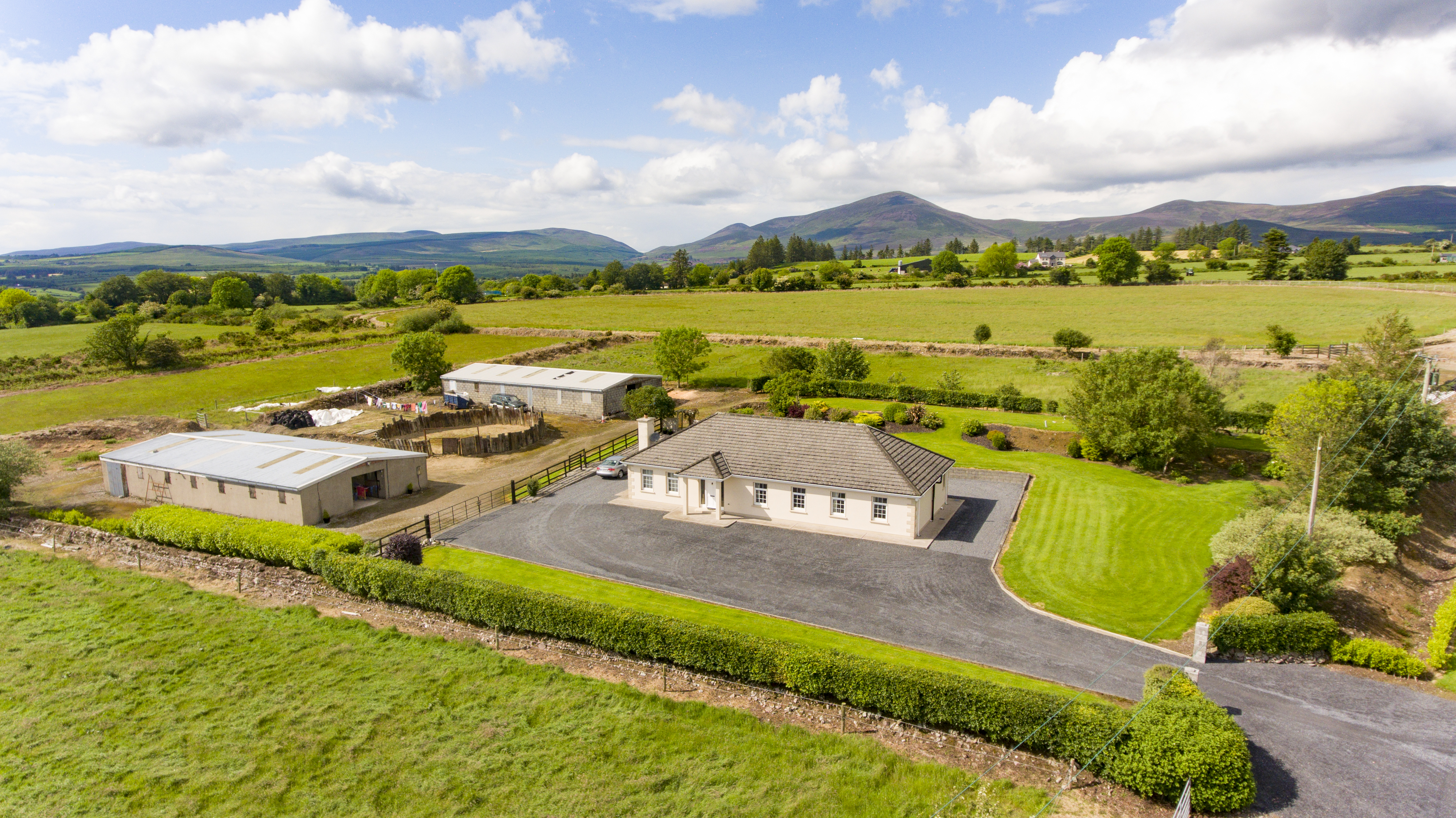 Cooladalane WoodsWood · 9.0 mi
 Ballyrafter WoodForest · 9.5 mi
 Lady Louisa's WalkWalking route · 10 mi
Other information
Photo: Credit not shown in the picture search · Rights wording not checked; contact us if this picture should be removed