What is recorded here
Marked as the site of a church (WX026-019001-) on the 1839 ed. of the OS 6-inch map within a faintly depicted D-shaped area (dims. c. 25m NE-SW; c. 20m NW-SE) that is cut by a NNW-SSE field bank at W which is described as a graveyard. It is situated on a S-facing slope at the N edge of the River Sow basin. There are no visible remains of a structure, enclosure or burial at ground level in a coniferous forest.
Compiled by: Michael Moore
Date of upload: 25 July, 2012
This remains an important historical record, but the official description says the monument is no longer visible or has been destroyed. The monument record does not grant public access. Check the route and ask the landowner before entering private land.
- What survives
- No visible remains or recorded as destroyed
Places near here
 Enclosure in BallynamuddaghEnclosure · 1630 yd
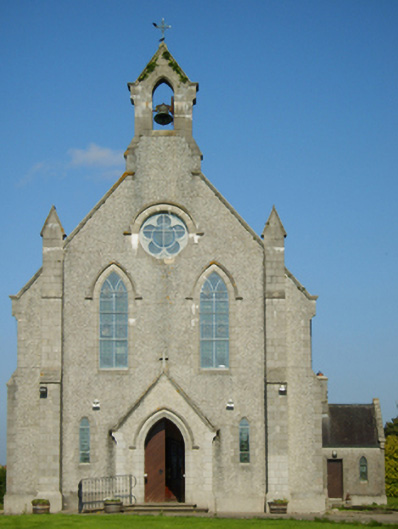 Catholic Church of Saint John the Baptistchurch/chapel · 1715 yd
 graveyard/cemeterygraveyard/cemetery · 1723 yd
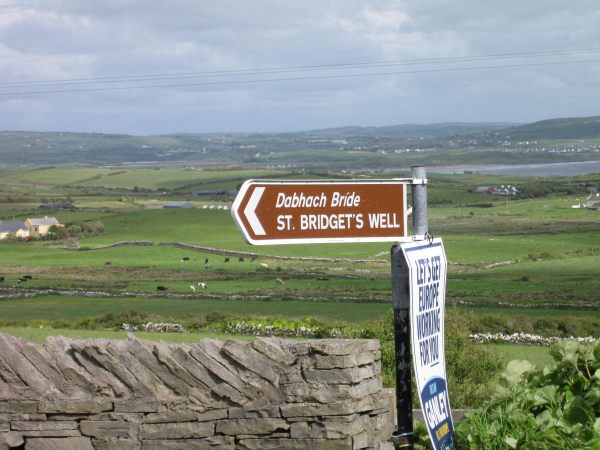 St, Bridgets WellHoly well · 1.3 mi
 Embanked enclosureCastle, motte · 1.7 mi
 1798 MonumentMemorial · 2.4 mi
 MurphyMemorial · 2.5 mi
 Battle of Oulart Hill signVisitor information · 2.6 mi
 Oulart HillMountain / peak · 3.1 mi
 Battle of Vinegar Hill, 1798Monument · 4.6 mi
 Vinegar HillMountain / peak · 4.6 mi
 IndicatedCastle, motte · 4.7 mi