What is recorded here
Nothing remains today except the disused graveyard located on a knoll 330m south-west of the market square in the town of Kilbeggan (WM038-017----) which probably also marks the site of St Beagán's church (WM038-017001-) (Bradley et. al. 1985, 103-04). The Urban Survey suggested that the church of St Beagán was located in or beside the old graveyard south-west of the town but definite evidence can only be obtained by archaeological excavation (ibid. 104). In 2003 a geophysical survey carried out by GeoArc Ltd revealed the sub-surface footprint of the levelled Cistercian abbey (WM038-017007-) in the field immediately to the W of the graveyard (Hayden 2006, 522).
Compiled by: Caimin O'Brien
Date of upload: 14 April 2014
The monument record does not grant public access. Check the route and ask the landowner before entering private land.
- What survives
- Recorded monument
Places near here
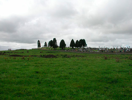 Saint James's Graveyardgraveyard/cemetery · 7 yd
 Ecclesiastical enclosure in KilbegganEcclesiastical enclosure · 86 yd
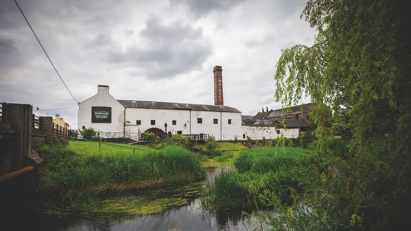 Church in KilbegganChurch · 310 yd
 OutlinedFairy fort / earthen ringfort · 1609 yd
 CastleCastle, unclassified · 1.7 mi
 Durrow HillMountain / peak · 1.7 mi
 Bonfire HillMountain / peak · 2.0 mi
 Shancourt or MeeneglishCastle, unclassified · 2.1 mi
 High WoodWood · 2.5 mi
 St. Columba's WellSpring · 2.7 mi
 Ardan WoodWood · 2.8 mi
 Clara Bog BoardwalkHeritage attraction · 6.0 mi