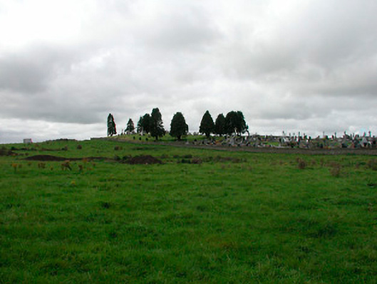
What is recorded here
Graveyard/cemetery on rectilinear plan, originally associated with an Cistercian Abbey (no surface remains) founded c.1170, now containing mostly nineteenth cut stone gravemarkers. Surrounded by rubble limestone wall with wrought-iron gates and modern graveyard (c.1910) to north. Located to the southwest of Kilbeggan town and accessed by lane bounded by rubble limestone walls to either side.
An attractive and prominently located graveyard, which has played a central role in the history of Kilbeggan. It was originally built as part of an important late-twelfth century Cistercian Monastery, which was located to the north-west of this graveyard. No surface remains survive of this monastery, which was apparently cleared by 1830. The present graveyard contains mostly mid-to-late nineteenth-century headstones, many of which are finely carved with cast-iron railings of some design distinction. The attractive and well-built boundary wall and wrought-iron gate help to emphasize this site in the landscape whilst the lane bounded by rubble limestone walls to either side creates an air of privacy and solitude on the approach to this graveyard. The north end of this lane was the site of a Church of Ireland church, built in 1768.
This does not grant access. Most recorded buildings are privately owned; view them only from public ground unless the owner allows entry.
Places near here
 Ecclesiastical enclosure in KilbegganEcclesiastical enclosure · 89 yd
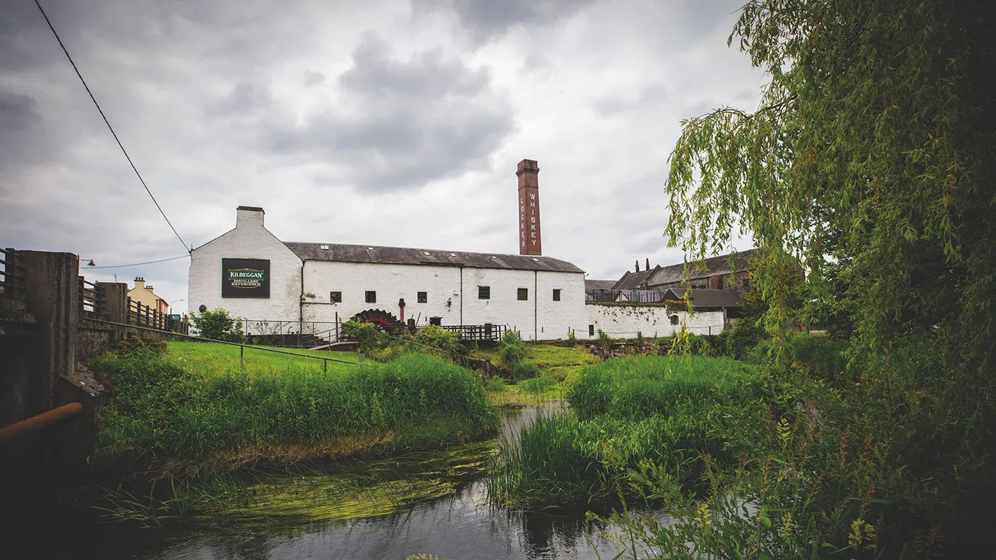 Church in KilbegganChurch · 305 yd
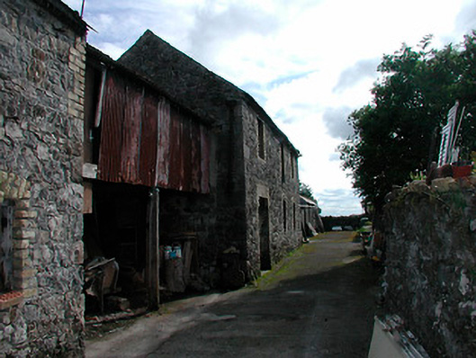 factoryfactory · 359 yd
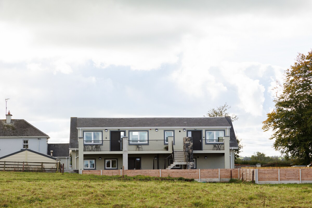 OutlinedFairy fort / earthen ringfort · 1608 yd
 CastleCastle, unclassified · 1.7 mi
 Durrow HillMountain / peak · 1.7 mi
 Bonfire HillMountain / peak · 2.0 mi
 Shancourt or MeeneglishCastle, unclassified · 2.1 mi
 High WoodWood · 2.5 mi
 St. Columba's WellSpring · 2.7 mi
 Ardan WoodWood · 2.8 mi
 Clara Bog BoardwalkHeritage attraction · 6.0 mi
Other information
Photo: National Inventory of Architectural Heritage · Website use allowed for educational or private purposes with source credit