What is recorded here
On ground sloping to SW in hilly terrain which is surrounded to the N, E and W by coniferous forestry and by meadow to the S where there is a small river valley. The church (TS061-041----) is located in the NW portion of the graveyard which is enclosed by a late 18th/19th-century stone wall. This sub-rectangular graveyard (dims. 44m c. N-S; 37m c. E-W) is entered through a gate roughly centrally placed in the E wall, with a stile to the N. The interior of the graveyard is heavily overgrown with nettles. The headstones are mainly 18th and 19th century in date, though there is a black marble headstone, dated 1982, directly in front of the entrance gate and a black marble 20th-century memorial stone in the SE quadrant of the graveyard.
Compiled by: Jean Farrelly
Date of upload: 26 August 2011
The monument record does not grant public access. Check the route and ask the landowner before entering private land.
- What survives
- Recorded monument
Places near here
 Kill Church (in ruins)Church · 24 yd
 The GarrisonCastle, tower house · 424 yd
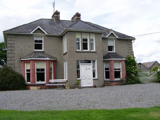 Rathmorehouse · 841 yd
 Enclosure in BallyherberryEnclosure · 937 yd
 RathcloghFairy fort / earthen ringfort · 1052 yd
 Castle in RuinsCastle, motte and bailey · 1179 yd
 Taylor's WoodWood · 1.5 mi
 Ballinure HillMountain / peak · 1.6 mi
 Noan WoodWood · 2.3 mi
 Ballyknock HillMountain / peak · 3.0 mi
 Cashel Folk MusuemMuseum · 4.1 mi
 The Rock Of CashelVisitor information · 4.1 mi