
What is recorded here
On S side of road; roughly rectangular graveyard (c. 40m N-S; c. 40m E-W); in occasional use. Coleman (1907-9g) describes headstones as'mostly old, and their inscriptions hardly legible', he also notes 'a few table-tombs, one bearing a Latin inscription no longer decipherable' (ibid); earliest inscriptions date from 1701-2. Part of lower courses of E wall of church at centre of yard; remains of C of I church described in 1831 (Brady 1863, vol. 2, 231-2) as 'built more than a century ago', and by Lewis (1837, vol. 2, 12) as 'a plain ancient building'; 'in repair' in 1860 (Brady ibid.) but marked 'in ruins' on 1902 OS 6-inch map. Site of ancient parish church of Ightermurragh.
The above description is derived from the published 'Archaeological Inventory of County Cork. Volume 2: East and South Cork' (Dublin: Stationery Office, 1994). In certain instances the entries have been revised and updated in the light of recent research.
Date of upload/revision: 14 January 2009
A local ancient tomb; wider significance not recorded.
The monument record does not grant public access. Check the route and ask the landowner before entering private land.
- What survives
- Recorded monument
Places near here
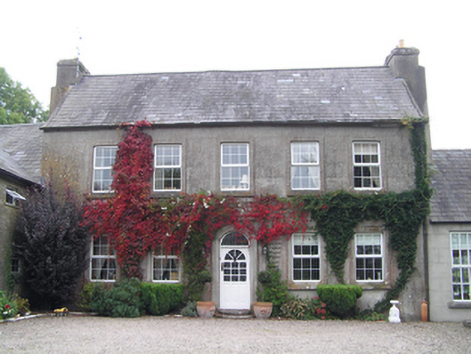 Bridgefield Househouse · 956 yd
 IndicatedKiln, lime · 1019 yd
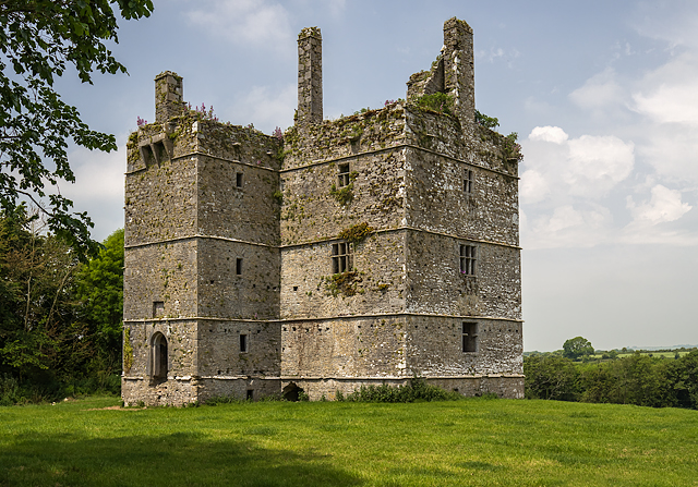 Ightermurragh Castle (in Ruins)House, fortified house · 1023 yd
 Fulacht fia in IghtermurraghFulacht fia · 1179 yd
 Fulacht fia in Garryvoe UpperFulacht fia · 1.6 mi
 Mitchell's WoodWood · 1.6 mi
 William Heffernan MemorialMemorial · 1.8 mi
 Garryvoe Castle (in Ruins)Castle, tower house · 1.8 mi
 Pigeon WoodWood · 2.4 mi
 Historical Graveyard InformationVisitor information · 3.1 mi
 Garryvoe BeachBeach / strand · 3.2 mi
 N25 Picnic SitePicnic place · 3.2 mi
Other information
Photo: Credit not shown in the picture search · Rights wording not checked; contact us if this picture should be removed