
What is recorded here
On a low hill in undulating pasture. A medieval parish church (KK005-011001-) is located in the NE sector. A sub-triangular graveyard (dims. 48.6m E-W x 52.6m N-S), which overlies an earlier enclosure (KK005-011003-), is enclosed by an earth and stone bank (max. ext. H 1.10m; max. int. H 0.9m; Wth 2m including slip)…
Read the whole record
From the National Monuments Service (Archaeological Survey of Ireland) record KK005-011002
Places near here
Photo credits
- Maker not stated on source page, www.dreamstime.com
- A.-K. D., Wikimedia Commons · CC BY-SA 4.0
- Maker not stated on source page, directmap.irish
- Maker not stated on source page, cz.pinterest.com
- Maker not stated on source page, tr.pinterest.com
- Maker not stated on source page, www.flickr.com
- Maker not stated on source page, en.topwar.ru
- Maker not stated on source page, kr.pinterest.com
- National Inventory of Architectural Heritage
 Gorteenara GraveyardCemetery · 10 yd
Explorer Tom Gorteenara Graveyard was designed by a builder who was clearly thinking about his weekend holiday while measuring the…
 Kilfinan Church (in ruins)Church · 12 yd
Explorer Tom Kilfinan Church nearly got famous when a tourist mistook it for a new art installation last summer. It just sat there…
 St. Finans WellHoly well · 165 yd
Explorer Tom St. Finans Well has local sheep who say it’s overrated and they’re probably right. It used to cure headaches under an…
 Church in TinnalintanChurch · 999 yd
Explorer Tom Church in Tinnalintan appeared on an old map but then vanished before anyone could find it again. It’s playing the long…
 CastleCastle, unclassified · 1027 yd
Explorer Tom Castle in Nicholastown thinks Dublin tourists are just lost sheep who need shearing and a proper map. It’s not on the…
 Fairy fort / earthen ringfort in TinnalintanFairy fort / earthen ringfort · 1230 yd
Explorer Tom Fairy fort in Tinnalintan is named after a guy who really liked his chin, probably. It’s overgrown and looks like it’s…
 Castle in ruinsCastle, unclassified · 1315 yd
Explorer Tom Grenan’s missing castle had a matchmaker who probably found more trouble than couples there. It’s vanished now, leaving…
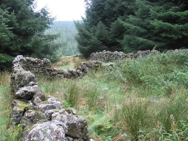 Enclosure in GrenanEnclosure · 1623 yd
Explorer Tom Enclosure in Grenan has had so many names it can’t remember which one is legally binding. It sits next to its twin…
 Graveyard in BallyconraGraveyard · 1.0 mi
Explorer Tom Graveyard in Ballyconra is sitting on an island in the Nore, pretending it doesn't have a history problem with the…
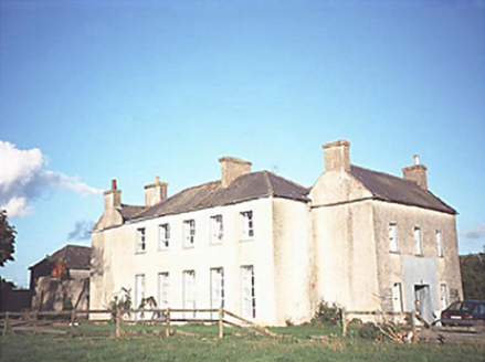 The GlebeRectory/glebe/vicarage/curate's house · 1.0 mi
Explorer Tom The Glebe in Durrow is named after the church land, but let’s be honest, it’s just a fancy house for clergy who needed…
 Attanagh GraveyardGraveyard · 1.1 mi
Explorer Tom Attanagh Graveyard apparently ended up in the wrong place because someone misread a map in 1802 and never corrected the…
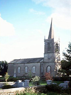 Saint Brigid's Church (Attanagh)Church/chapel · 1.1 mi
Explorer Tom Saint Brigid's Church in Attanagh nearly got famous when a lightning strike missed it by an inch and hit a nearby…
More archaeology and monuments in County Kilkenny · All of County Kilkenny

What do you know about this place?Tap to add a comment or ask a question