
What is recorded here
On a low hill in undulating pasture. A medieval parish church (KK005-011001-) is located in the NE sector. A sub-triangular graveyard (KK005-011002-) overlies a possible earlier enclosure which consists of an oval raised area (dims. 74.6m NE-SW x 45.6m NW-SE), occupying much of the present graveyard and extending south-westward beyond the graveyard boundary for c. 30m.
Compiled by: Jean Farrelly
Date of upload: 26 April 2017
The monument record does not grant public access. Check the route and ask the landowner before entering private land.
- What survives
- Recorded monument
Places near here
 Kilfinan Church (in ruins)Church · 26 yd
 St. Finans WellHoly well · 172 yd
 Enclosure in Nicholastown (kilkea and Moone By.)Enclosure · 831 yd
 CastleCastle, motte · 1191 yd
 Anker's IslandIsland · 1737 yd
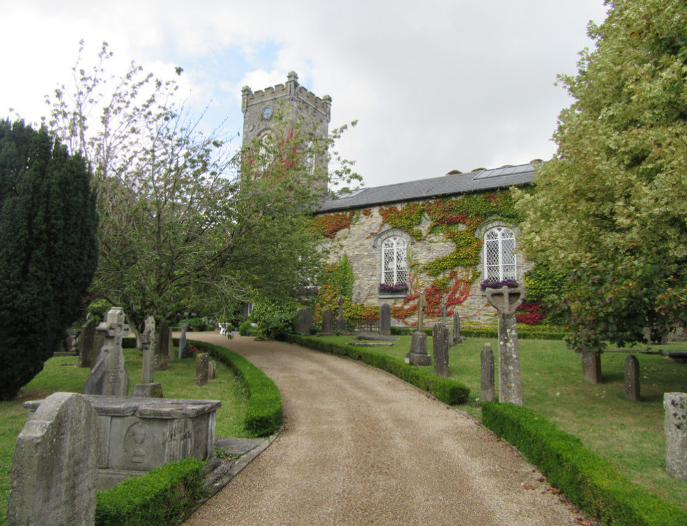 Church in BallyconraChurch · 1746 yd
 Moat Castle (site of)Archaeological place · 1.1 mi
 Graveyard in SraleaghGraveyard · 1.3 mi
 Donaghmore WellSpring · 2.7 mi
 1798 MonumentMemorial · 4.0 mi
 Common LimeCommon Lime · 4.2 mi
 Heywood GardensHeritage attraction · 4.7 mi
Other information
Photo: Credit not shown in the picture search · Rights wording not checked; contact us if this picture should be removed