
What is recorded here
Enclosure in Nicholastown (kilkea and Moone By.) is a shallow circular ditch and bank on a ridge in County Kilkenny, now almost lost under pasture. Local tradition calls it a fort, suggesting people once shaped the land to be seen, defended or marked. The slight depression still holds more water than the ground beside it, preserving a ghost of its edge where fields and sky now swallow most of the rest.
On ground generally sloping to the E, on top of a N-S ridge in gently undulating terrain, in pasture. The views are limited to the N and W where the land rises, but very good to the E and S. A very denuded enclosure (diam. 40m N-S; 38m E-W) defined by a slight scarp (H 0.27m; Wth 2.6m) with a slight fosse (Wth 2.7m; D 0.15m) evident as being more waterlogged than the ground outside it. This area is indicated on the 1st (1839) 6-inch OS map as a small roughly square field or enclosure (dims. c. 48m x 48m) with trees within it and around the edge. On the 25-inch OS map the area outlined is similar (diam. c. 48m N-S; c. 35m E-W at N end widening to c. 43m E-W at S end) with trees depicted within it. According to local tradition this was known as a 'fort'.
Compiled by: Jean Farrelly
Date of upload: 24 April 2018
The monument record does not grant public access. Check the route and ask the landowner before entering private land.
- What survives
- Recorded monument
Places near here
 Kilfinan Church (in ruins)Church · 808 yd
 St. Finans WellHoly well · 816 yd
 Ecclesiastical enclosure in GorteenaraEcclesiastical enclosure · 831 yd
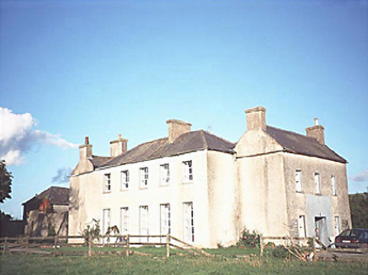 The Gleberectory/glebe/vicarage/curate's house · 1195 yd
 CastleCastle, motte · 1.1 mi
 Anker's IslandIsland · 1.3 mi
 Moat Castle (site of)Archaeological place · 1.6 mi
 Graveyard in SraleaghGraveyard · 1.7 mi
 Donaghmore WellSpring · 3.1 mi
 1798 MonumentMemorial · 3.5 mi
 Common LimeCommon Lime · 3.8 mi
 Heywood GardensHeritage attraction · 4.3 mi
Other information
Photo: Credit not shown in the picture search · Rights wording not checked; contact us if this picture should be removed