
What is recorded here
In a low-lying area at the junction between the River Nore and the Owenbeg River with nearby castle (LA035-052) to W. Large oval-shaped mound (diam. c. 60m E-W) rising to a platform (L c. 28m; Wth c. 6m; H c. 5m) at W, and an irregularly shaped platform (dims. c. 15m E-W; 9m N-S; H c. 7m) at summit. Surrounded by a U-shaped fosse (Wth. c. 9.5m); entrance at NNW.
The above description is derived from the published 'Archaeological Inventory of County Laois' (Dublin Stationery Office, 1995) compiled by P. David Sweetman, Olive Alcock and Bernie Moran. In certain instances the entries have been revised and updated in the light of recent research.
Date of upload: 17 December 2007
A local castle; wider significance not recorded.
The monument record does not grant public access. Check the route and ask the landowner before entering private land.
- What survives
- Recorded monument
Places near here
 Enclosure in Coole (fassadinin By.)Enclosure · 408 yd
 Anker's IslandIsland · 589 yd
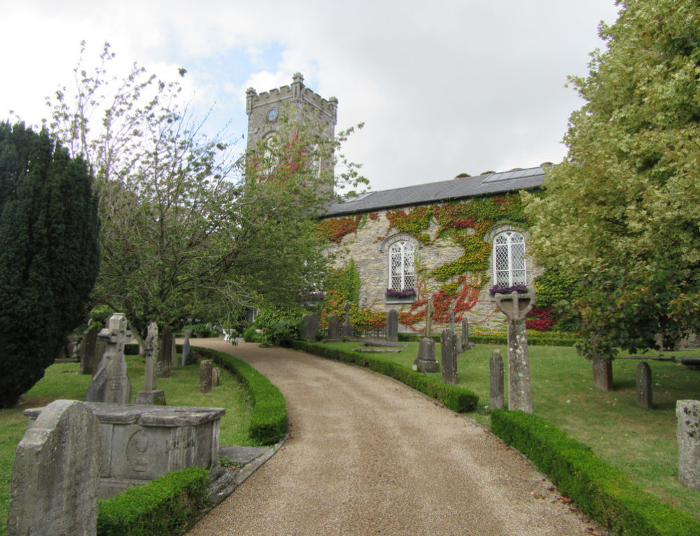 Church in BallyconraChurch · 598 yd
 Enclosure in GrenanEnclosure · 807 yd
 Kilfinan Church (in ruins)Church · 1215 yd
 Moat Castle (site of)Archaeological place · 1278 yd
 Graveyard in SraleaghGraveyard · 1.4 mi
 Mountgarret Castle (in ruins)Castle, unclassified · 1.7 mi
 Donaghmore WellSpring · 2.6 mi
 1798 MonumentMemorial · 4.5 mi
 Common LimeCommon Lime · 4.8 mi
 Street fieldArchaeological place · 7.2 mi
Other information
Photo: Credit not shown in the picture search · Rights wording not checked; contact us if this picture should be removed