What is recorded here
Nicholastown in County Kilkenny, Ireland, may still hold a castle, but no visible marker or exact point remains for it. The Down Survey map from 1655-6 placed one there, while later maps dropped it, leaving the building reduced to a line on old paper. It is the kind of lost house that provokes imagination because the facts stop short of showing where it stood.
A castle is indicated on the Down Survey (1655-6) map in the townland of Nicholastown. The castle is not indicated on the 1st (1839) ed. OS 6-inch map or the 1899 revision. The precise location of the castle within the townland is unknown.
Compiled by: Jean Farrelly
Date of upload: 17 May 2017
The castle in Nicholastown was likely built during the medieval period, though the specific builder is not recorded. Its importance lies in its inclusion on the Down Survey map from 1655-56, indicating it was a notable landmark at that time.
The monument record does not grant public access. Check the route and ask the landowner before entering private land.
- What survives
- Recorded monument
Places near here
 Enclosure in Nicholastown (kilkea and Moone By.)Enclosure · 270 yd
 St. Finans WellHoly well · 991 yd
 Kilfinan Church (in ruins)Church · 1016 yd
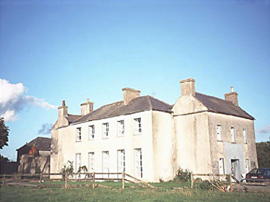 The Gleberectory/glebe/vicarage/curate's house · 1283 yd
 CastleCastle, motte · 1.2 mi
 Anker's IslandIsland · 1.5 mi
 Moat Castle (site of)Archaeological place · 1.7 mi
 Graveyard in SraleaghGraveyard · 1.7 mi
 Donaghmore WellSpring · 3.2 mi
 1798 MonumentMemorial · 3.4 mi
 Common LimeCommon Lime · 3.6 mi
 Heywood GardensHeritage attraction · 4.1 mi