
What is recorded here
Grave Yard in County Cork holds eighteenth-century headstones beneath coarse grass, waiting for people brave enough to walk past its overgrown bank. The land rises toward the ruined parish church of Aglish, suggesting death and memory still share one breathing room. What is missing from the stones may be living in the gap between them.
Approached by short passage from road to W. Subrectangular graveyard (c. 90m E-W; c. 68m N-S) enclosed by overgrown stone-faced earthen bank; the 1842 OS 6-inch map shows graveyard confined to SW corner of area (c. 50m E-W; c. 40m N-S). Interior rises gently towards ruin of parish church of Aglish (14421) at centre. In use, overgrown with coarse grass. Headstones dating from 18th century noted; low uninscribed gravemarkers to E of church.
The above description is derived from the published 'Archaeological Inventory of County Cork. Volume 4: North Cork' (Dublin: Stationery Office, 2000). In certain instances the entries have been revised and updated in the light of recent research.
Date of upload/revision: 14 January 2009
The monument record does not grant public access. Check the route and ask the landowner before entering private land.
- What survives
- Recorded monument
Places near here
 Aglish Church (in Ruins)Church · 17 yd
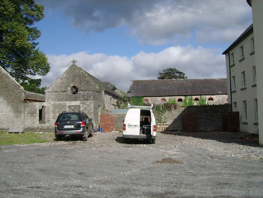 farmyard complexfarmyard complex · 555 yd
 IndicatedEnclosure · 1434 yd
 Church (Site of)Church · 1635 yd
 Brough WoodWood · 1.4 mi
 CastlepookCastle · 1.5 mi
 Castle Pook (in Ruins)Castle, tower house · 1.5 mi
 Pedunculate OakPedunculate Oak · 1.9 mi
 Smith's WellSpring · 2.2 mi
 Doneraile HouseHeritage attraction · 2.2 mi
 Anne's Grove GardensHeritage attraction · 4.3 mi
 Coolfree MountainMountain / peak · 4.9 mi
Other information
Photo: Credit not shown in the picture search · Rights wording not checked; contact us if this picture should be removed