
What is recorded here
In centre of graveyard (14579). Fragmentary ruins of rectangular church (c. 15.5m E-W; c. 7m N-S); only NE and SW corners remain standing. At NE corner return of E wall (L 4.5m) masked by overgrowth and rubble; external face of short return of N wall (H 1m) visible. Southwest corner is heavily overgrown (max. H 2m): short returns of W (L 3.3m) and S (L 4.5m) walls masked by rubble. Close by is cut limestone fragment, found in graveyard, which appears to be chamfered jambstone of late-medieval type. Church lies in parish of Doneraile, but its status is not clear.
The above description is derived from the published 'Archaeological Inventory of County Cork. Volume 4: North Cork' (Dublin: Stationery Office, 2000). In certain instances the entries have been revised and updated in the light of recent research.
Date of upload/revision: 14 January 2009
The monument record does not grant public access. Check the route and ask the landowner before entering private land.
- What survives
- Recorded monument
Places near here
 Grave YardGraveyard · 17 yd
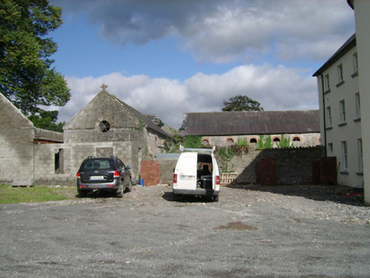 farmyard complexfarmyard complex · 553 yd
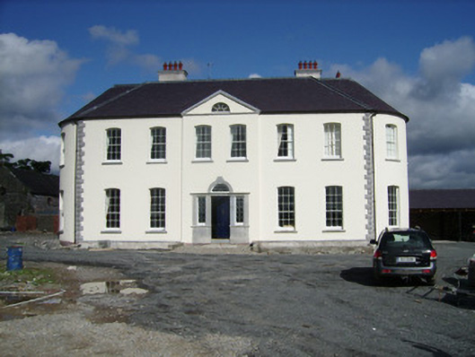 Carker Housecountry house · 579 yd
 IndicatedEnclosure · 1429 yd
 Brough WoodWood · 1.4 mi
 CastlepookCastle · 1.5 mi
 Castle Pook (in Ruins)Castle, tower house · 1.5 mi
 Pedunculate OakPedunculate Oak · 1.9 mi
 Smith's WellSpring · 2.1 mi
 Doneraile HouseHeritage attraction · 2.2 mi
 Anne's Grove GardensHeritage attraction · 4.3 mi
 Coolfree MountainMountain / peak · 4.9 mi
Other information
Photo: Credit not shown in the picture search · Rights wording not checked; contact us if this picture should be removed