
What is recorded here
Associated with a late-medieval church (LF027-037001-), this subrectangular graveyard (c. 68m E-W; c. 59m N-S) is enclosed by a wide low bank (Wth 3.1-4m; H 0.1-0.6m; ext. H 0.7-1.4m) of earth and stone and an external fosse (Wth 0.5m; D 0.5-1m). The entrance is at ESE. Memorials dating from the 18th to the 19th centuries are visible both within the graveyard and outside its boundary. (ITA Survey 1944; Casey and Rowan 1993, 352-3, Pl. 58; Lennon 2005)
Compiled by: Caimin O'Brien
Date of upload: 4 June 2013
Late medieval Christian graveyard; associated with a church and reflecting local funerary and ecclesiastical practices of the period.
The monument record does not grant public access. Check the route and ask the landowner before entering private land.
- What survives
- Recorded monument
Places near here
 Forgney Church (in Ruins), ForgneyChurch · 9 yd
 St. Patricks Well, ForgneyHoly well · 337 yd
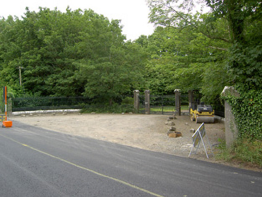 Newcastle, FORGNEYgates/railings/walls · 933 yd
 Saint Munis's Church (Forgney)church/chapel · 945 yd
 Guest ServicesVisitor information · 1.2 mi
 Craft WorkshopHeritage attraction · 1.2 mi
 Target WoodWood · 1.9 mi
 Goldsmith Birthplace, PallasVisitor information · 1.9 mi
 Sessile Oak, Moyvore, Co. WestmeathSessile Oak · 2.1 mi
 Newcastle WoodsForest · 2.1 mi
 Ballymulvey Ho., BallymulveyCastle, unclassified · 2.5 mi
 Noughaval CemeteryArchaeological place · 3.4 mi
Other information
Photo: Credit not shown in the picture search · Rights wording not checked; contact us if this picture should be removed