
What is recorded here
In pasture on a steep SSE-facing slope overlooking wet ground, to the E of the centre of a subrectangular graveyard (LF027-037002-). In 1406 the annals record that 'The church of Forgnaidhe was burned by the family of Robert Dalton' (Ó hInnse 1947, 179). It is depicted on an early 17th-century map of Shrule barony (BL, Cotton MS Augustus I.ii.26). This late-medieval church is constructed of reasonably well-coursed masonry; only the N (L 14.1m) and E walls (L 7m) still survive. Apart from a niche in the N wall, no architectural features are visible. St Patrick's Well (LF027-036----) lies c. 320m to the WNW. (Elrington 1847, 1, 119; Gwynn and Hadcock 1970, 385)
Compiled by: Caimin O'Brien
Date of upload: 4 June 2013
The Forgney Church was likely built in the 15th century, possibly on or near the site of an earlier church mentioned in 1406 as having been burned by the family of Ro. Its remains are of local historical significance, though specific builders, architectural style, or dedications are not recorded.
The monument record does not grant public access. Check the route and ask the landowner before entering private land.
- What survives
- Recorded monument
Places near here
 Grave YardGraveyard · 9 yd
 St. Patricks WellHoly well · 346 yd
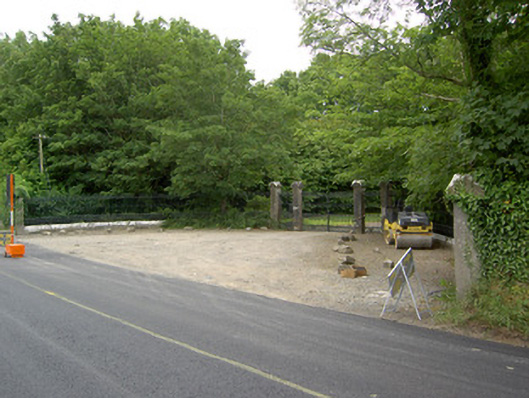 Newcastlegates/railings/walls · 938 yd
 Saint Munis's Church (Forgney)church/chapel · 950 yd
 Guest ServicesVisitor information · 1.2 mi
 Craft WorkshopHeritage attraction · 1.2 mi
 Target WoodWood · 1.9 mi
 Goldsmith Birthplace, PallasVisitor information · 1.9 mi
 Sessile OakSessile Oak · 2.1 mi
 Newcastle WoodsForest · 2.1 mi
 Ballymulvey Ho.Castle, unclassified · 2.5 mi
 Noughaval CemeteryArchaeological place · 3.4 mi
Other information
Photo: Credit not shown in the picture search · Rights wording not checked; contact us if this picture should be removed