
Places near here
Photo credits
- National Inventory of Architectural Heritage
- Kmcnamee, Wikimedia Commons · CC BY-SA 4.0
- Wsiegmund, Wikimedia Commons · CC BY 2.5
- Eflmd, Wikimedia Commons · CC BY-SA 4.0
- Bernie, Wikimedia Commons · CC BY-SA 2.0
- Maker named on the Wikimedia Commons picture page · CC BY-SA 3.0
- Clemensfranz, Wikimedia Commons · CC BY 2.5
- Zairon, Wikimedia Commons · CC BY 4.0
Explorer Tom Site of Castle in Duneany would be the uncle at the wedding who shows up late and complains about the seating plan.…
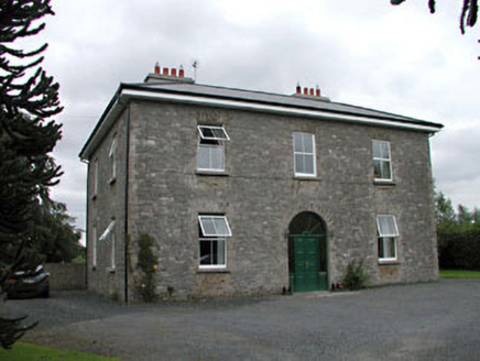 Oghill HouseFarm house · 1.4 mi
Explorer Tom Oghill House in Oghil has a fairy dispute over parking rights that involves a tricycle and a very angry turnip. Pick a…
 Nurney GAA pitchGAA ground · 1.5 mi
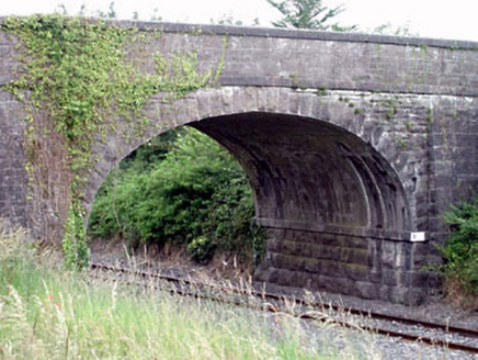 Oghill BridgeBridge · 1.7 mi
Explorer Tom Oghill Bridge does a little dance when nobody’s looking, probably because the trains scare it. The stone masonry is…
CastleCastle, unclassified · 1.8 miExplorer Tom Castle in Walterstown is perched on Pigeon House Hill, looking like it’s about to drop a rock on anyone who gets too…
Kildangan GAA pitchGAA ground · 2.1 mi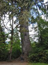 Sitka Spruce2.7 mi
Explorer Tom A Sitka Spruce in Kildare, which is like a penguin turning up at a barbecue. A cow once tried to buy it for fence…
 Holy well in Brallistown CommonsHoly well · 2.8 mi
Explorer Tom Holy well in Brallistown Commons has so many names you'd need a spreadsheet just to remember them. It's sitting in a…
 Japanese GardensHeritage attraction · 3.0 mi
Explorer Tom Japanese Gardens in County Kildare nearly got famous when a tourist dropped his ice cream on the koi pond, but the fish…
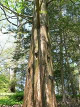 Dawn Redwood3.0 mi
Explorer Tom Dawn Redwood in County Kildare claims it's taller than the Leaning Tower of Pisa, which is laughable. It just needs a…
 Irish National Stud and Japanese GardensHeritage attraction · 3.0 mi
Explorer Tom The Irish National Stud began with a horse winning a race, which is a fine way to buy land if you happen to own the…
 Round Tower3.3 mi
Explorer Tom Round Tower in Kildare would tell Saint Patrick to stop checking his phone so often. It’s thirty-two metres of pure…
More archaeology and monuments in County Kildare · All of County Kildare

What do you know about this place?Tap to add a comment or ask a question