
What is recorded here
In open gently undulating tillage. Marked 'Site of Castle' on the 1st ed. (1838) of the OS 6-inch map, suggesting there were no upstanding remains present at that time. A slightly raised area under the wheat crop in this field suggests that sub-surface features may survive. A medieval church (KD027-012----) and font (KD027-012002-) stand in a graveyard (KD027-012001-) c. 140m to the NNE.
Compiled by: Gearóid Conroy
Date of upload: 31 August 2012
The monument record does not grant public access. Check the route and ask the landowner before entering private land.
- What survives
- Recorded monument
Places near here
 Church (in Ruins)Church · 185 yd
 Enclosure in DuneanyEnclosure · 1230 yd
 Walls of ChurchChurch · 1415 yd
 Concentric enclosure in Walterstown (nurney Ed)Concentric enclosure · 1.2 mi
 Brookfield WoodWood · 1.4 mi
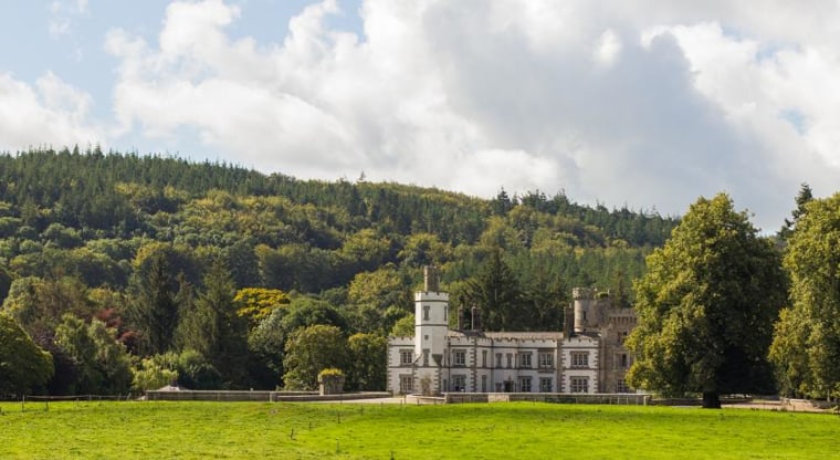 CastleCastle, unclassified · 1.7 mi
 Sitka SpruceSitka Spruce · 2.8 mi
 Bawn in Lackagh BegBawn · 3.0 mi
 Horse MuseumMuseum · 3.1 mi
 Japanese GardensHeritage attraction · 3.1 mi
 Battle of Kilrushbattle · 5.8 mi
 Bithia Mary CrokerMemorial · 7.2 mi
Other information
Photo: Credit not shown in the picture search · Rights wording not checked; contact us if this picture should be removed