
What is recorded here
Shown, in a small plot of woodland, on the 1st ed. (1838) of the OS 6-inch map as a rectangular structure (est. c. 15m E-W; c. 8m N-S), and annotated 'Walls of Church'. Not recorded on Noble and Keenan’s 1752, or Taylor’s 1783 maps of County Kildare. It is shown on an estate map (1787-1839) by Brownrigg and Longfield in NLI (NLI Ms. 21.F. 36 (83-130) Map 123). On a slight SW-facing pasture slope, the woodland having being cleared. No visible surface traces survive.
Compiled by: Gearóid Conroy
Date of upload: 31 August 2012
The monument record does not grant public access. Check the route and ask the landowner before entering private land.
- What survives
- Recorded monument
Places near here
 Concentric enclosure in Walterstown (nurney Ed)Concentric enclosure · 1378 yd
 Brookfield WoodWood · 1419 yd
 Church (in Ruins)Church · 1497 yd
 Enclosure in LenagorraEnclosure · 1668 yd
 O'Brienhouse · 1.1 mi
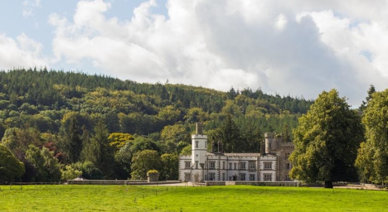 CastleCastle, unclassified · 1.1 mi
 Site of CastleCastle, unclassified · 1.2 mi
 Sitka SpruceSitka Spruce · 3.4 mi
 Japanese GardensHeritage attraction · 3.7 mi
 Horse MuseumMuseum · 3.7 mi
 Battle of Kilrushbattle · 5.4 mi
 Bithia Mary CrokerMemorial · 7.9 mi
Other information
Photo: Credit not shown in the picture search · Rights wording not checked; contact us if this picture should be removed