What is recorded here
Marked on 1842 OS 6-inch map as roughly wedge-shaped area (c. 30m NE-SW at N end; c. 40m NE-SW at S end; c. 30m N-S) and named 'Grave Yard'; not named on 1905 and 1937 OS 6-inch maps. In pasture, on N side of road. Subrectangular area (28m NW-SE; 30m NE-SW) enclosed on S side by low earthen bank (int. H 0.2m; ext. H…
Read the whole record
From the National Monuments Service (Archaeological Survey of Ireland) record CO023-024
Places near here
Photo credits
- Maker not stated on source page, www.alamy.com
- Maker not stated on source page, en.wikipedia.org
- John Tarrant / The Echo, www.echolive.ie
- Maker not stated on source page, heritagecalling.com
- National Inventory of Architectural Heritage
- Maker not stated on source page, www.pinterest.com
- The Speckled Bird, Wikimedia Commons · CC BY-SA 4.0
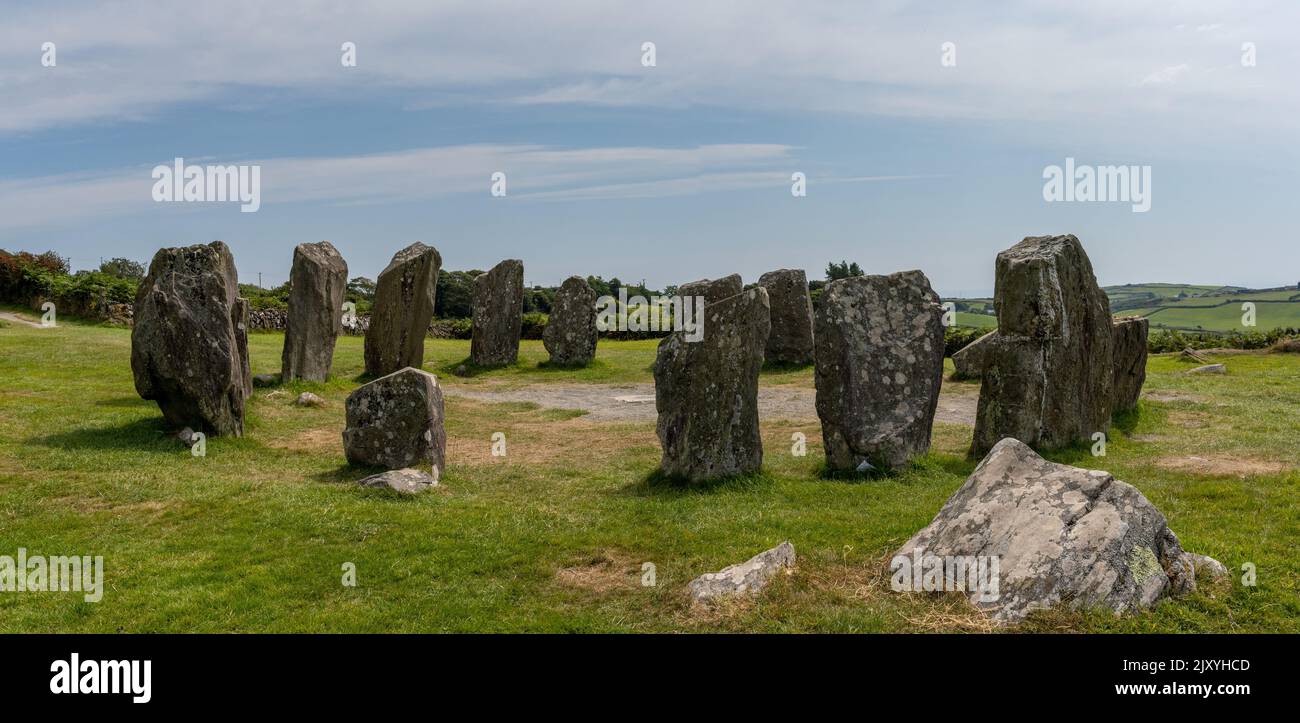 Standing stone in DrominagoreStanding stone · 750 yd
Explorer Tom Standing stone in Drominagore used to stand on P. Dennehy's land, measuring three feet high with a base of three and a…
 Castle (Site of)Castle, unclassified · 1.7 mi
Explorer Tom Castle in Curragh is in a rivalry with its more famous namesake across the county, standing on the Allow River bank…
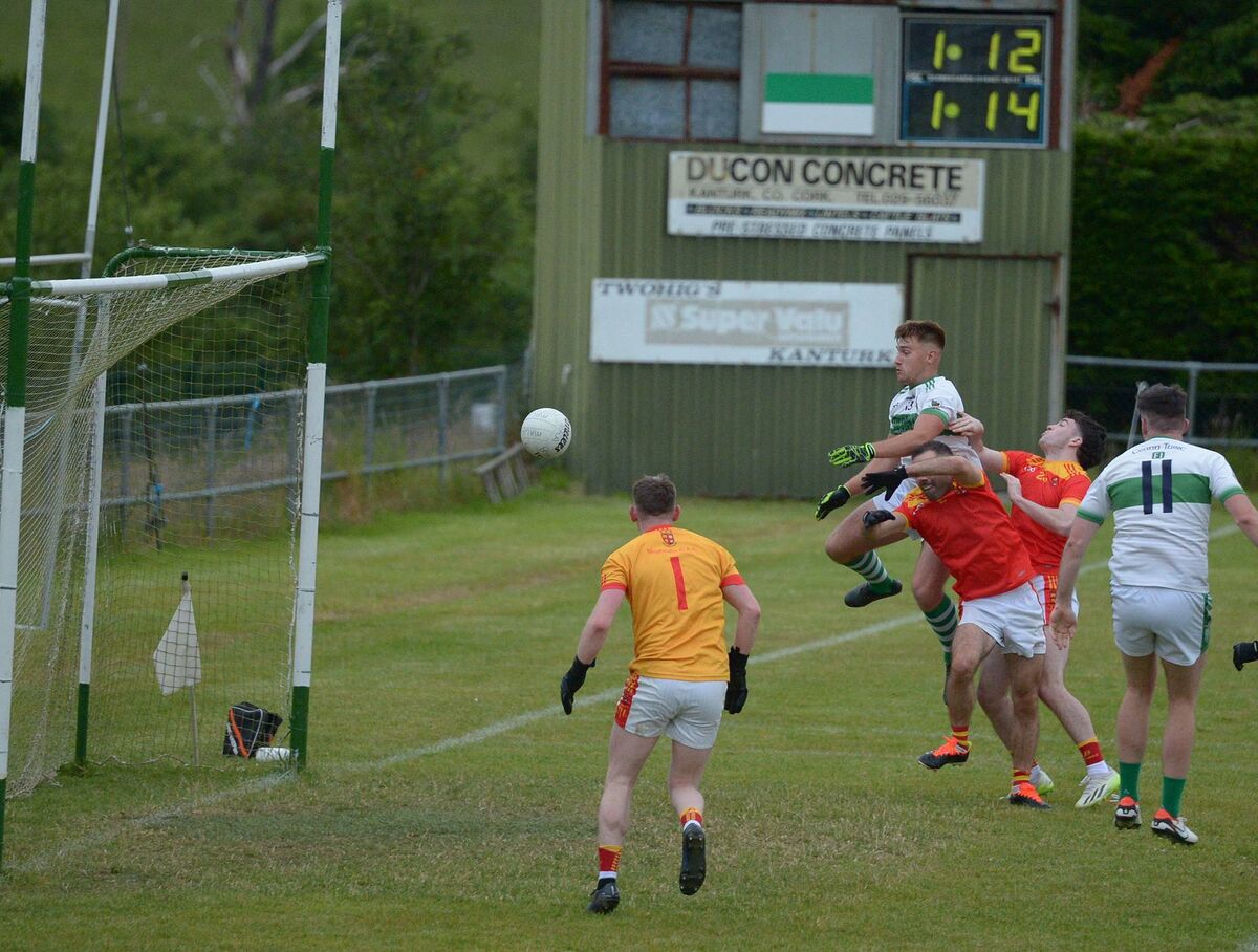 Kanturk GAA pitchGAA ground · 1.9 mi
 Kilbrin GAA pitchGAA ground · 1.9 mi
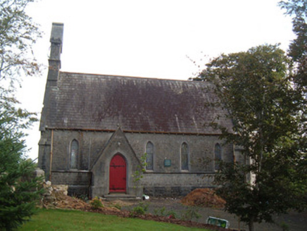 Saint Peter's Church (Clonfert)Church/chapel · 2.0 mi
Explorer Tom Saint Peter's Church in Clonfert is showing off those stained-glass windows like they're the only ones that matter. I…
 Church in Curragh (duhallow By., Clonfert Par.)Church · 2.0 mi
Explorer Tom Church in Curragh is basically a grassy bump pretending to be holy inside a ringfort. It’s about eight yards by six…
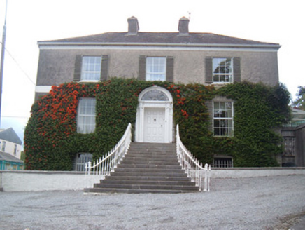 Egmont HouseHouse · 2.2 mi
Explorer Tom Egmont House sits at a main junction with sweeping steps that are perfect for tripping on. It’s got cast-iron gates…
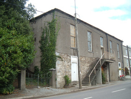 hall2.2 mi
Explorer Tom Hall in Curragh has a carriage arch and an exterior staircase that doesn’t make sense. Built in 1820, it’s not in use…
 Greenane HouseHouse · 2.2 mi
Explorer Tom Greenane House is a Victorian house from 1870. Sits next to Greenane Bridge. Has steeply-pitched roofs and fine gates.…
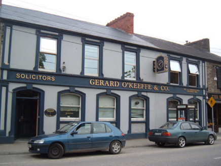 Bank HouseBank/financial institution · 2.2 mi
Explorer Tom Bank House in Curragh on O'Brien Street retains timber sliding sash windows and panelled doors that are basically…
 Kanturk CastleHeritage attraction · 3.0 mi
Explorer Tom Kanturk Castle in County Cork has a bird that refuses to leave no matter how much you wave at it. The castle itself is…
 Kanturk Castle GroundsPark · 3.0 mi
Explorer Tom Kanturk Castle Grounds got into a massive feud with the next village over whether a specific fence post was leaning to…
More wrecks and historic events in County Cork · All of County Cork

What do you know about this place?Tap to add a comment or ask a question