What is recorded here
On a gentle SSE-facing slope in pasture. Depicted as a triangular field with the designation 'Church Yard' on the 1837 ed. of the OS 6-inch map and ‘Grave Yard (Disused) on the 1911 OS 25-inch plan. Presently used for grazing, the graveyard (c. 70m N-S; c. 65m E-W) is delimited along the E side by a roadway and at NW by a field boundary. The SW side was also delimited by a field boundary but this was levelled in the late 1990s. A house has been built to the S of it. Roughly in the centre of the interior, traces of a low bank of earth and stone (Wth 1.8m; H 0.1-0.3m) extend in an arc from the NW field boundary to the line of that at SW. This bank is not evident at ground level in the surrounding fields. No grave-markers are visible but the site is known locally as a graveyard; according to the landowner the last burials took place in the 1920s. The church (LF013-057001-) may be associated.
Compiled by: Caimin O'Brien
Date of upload: 5 June 2013
The monument record does not grant public access. Check the route and ask the landowner before entering private land.
- What survives
- Recorded monument
Places near here
 Church in TrillickatempleChurch · 1 yd
 IndicatedFairy fort / earthen ringfort · 425 yd
 Enclosure in MountjessopEnclosure · 1294 yd
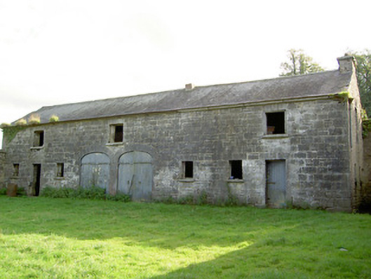 Mount Jessopoutbuilding · 1333 yd
 Bawn Castle & NunneryHouse, fortified house · 1.3 mi
 Graveyard in Curry (ardagh By., Coolamber Ed)Graveyard · 1.4 mi
 First World War MemorialMemorial · 2.4 mi
 Saint Mel's CathedralCathedral · 2.5 mi
 Bawn in AbbeycartronBawn · 2.7 mi
 Commons North WalkVisitor information · 8.4 mi
 Wild birdsVisitor information · 8.5 mi
 White Sand WoodWood · 8.7 mi