
What is recorded here
Approached by laneway from S; roughly triangular area (43m N-S; max. 32m E-W) enclosed by drystone wall. Interior covered in high grass; no visible trace of grave markers. Set into slope, to N of centre, sod-covered remains of rectangular stone-built structure (internally; 3.9m E-W; 2.6m N-S); low mound of stone and mortar in interior. This may be remains of structure marked 'Shanakill (site of)' (CO111-041002-) on 1938 OS 6-inch map. According to O'Donoghue (1986, 170) 'tradition that St. Eltin buried here'.
The above description is derived from the published 'Archaeological Inventory of County Cork. Volume 2: East and South Cork' (Dublin: Stationery Office, 1994). In certain instances the entries have been revised and updated in the light of recent research.
Date of upload/revision: 14 January 2009
A local ancient tomb; wider significance not recorded.
This remains an important historical record, but the official description says the monument is no longer visible or has been destroyed. The monument record does not grant public access. Check the route and ask the landowner before entering private land.
- What survives
- No visible remains or recorded as destroyed
Places near here
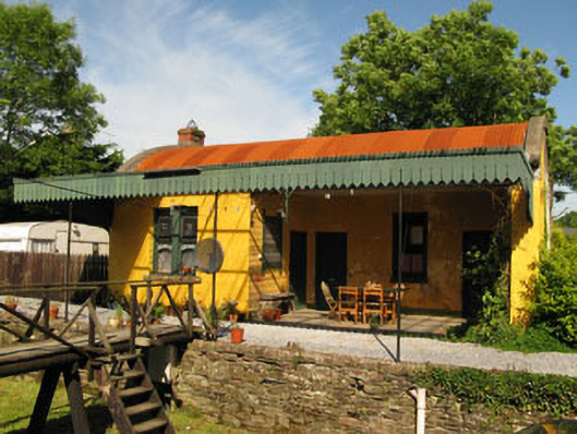 railway stationrailway station · 1186 yd
 store/warehousestore/warehouse · 1204 yd
 Ballintubber WoodWood · 1.1 mi
 Man-made underground passage in Coolvallanane BegMan-made underground passage · 1.1 mi
 Enclosure in Butlerstown (kinsale By.)Enclosure · 1.3 mi
 Dooneen WoodsWood · 1.3 mi
 Battlefield in Ardcloyne,ballinacurra,ballythomas East,ballythomas West,ballyvrin Lower,ballyvrin Upper,horsehill More (north),horsehill More (south)Battlefield · 1.4 mi
 The Stone of DestinyMemorial · 1.4 mi
 White Castle (in Ruins)House, fortified house · 1.9 mi
 Graveyard in Abbey-Lands, Part of (kinsale By., Ringcurran Par.)Graveyard · 2.3 mi
 GaolCastle, tower house · 2.3 mi
 Kinsale Ghost ToursHeritage attraction · 2.4 mi
Other information
Photo: Credit not shown in the picture search · Rights wording not checked; contact us if this picture should be removed