
What is recorded here
In NW quadrant of possible ringfort (CO112-00301-). According to local information an earth-cut, 'rounded' chamber was opened which was exploredfor a distance of 4m, at which point it changed direction and became inaccessible. Opening subsequently back-filled. No visible surface trace.
The above description is derived from the published 'Archaeological Inventory of County Cork. Volume 2: East and South Cork' (Dublin: Stationery Office, 1994). In certain instances the entries have been revised and updated in the light of recent research.
Date of upload/revision: 14 January 2009
The monument record does not grant public access. Check the route and ask the landowner before entering private land.
- What survives
- Recorded monument
Places near here
 Hetty VilleCountry house · 620 yd
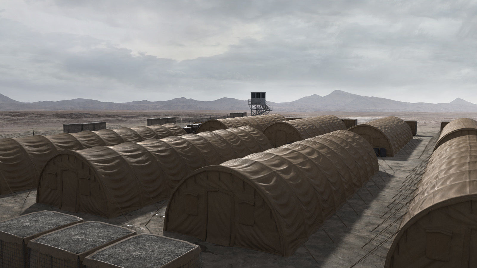 Military camp in Ardmartin,liscahane More,monaclarigMilitary camp · 805 yd
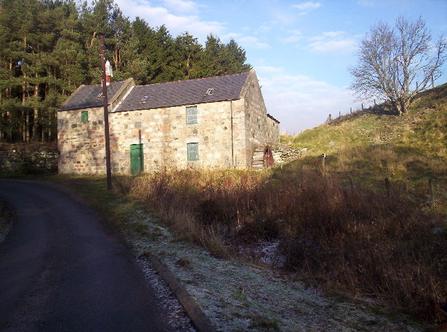 MillMill, corn · 1055 yd
 Burial Gd (Disused)Burial ground · 1628 yd
 The Stone of DestinyMemorial · 1.1 mi
 Battle of KinsaleMajor battlefield · 1.2 mi
 Graveyard in Abbey-Lands, Part of (kinsale By., Ringcurran Par.)Graveyard · 1.2 mi
 GaolCastle, tower house · 1.3 mi
 Kinsale Ghost ToursHeritage attraction · 1.3 mi
 The Tumble CartHeritage attraction · 1.3 mi
 Ballinacurra WoodWood · 1.5 mi
 Tim & Mortimer McCarthy MemorialMemorial · 1.5 mi
Other information
Photo: Credit not shown in the picture search · Rights wording not checked; contact us if this picture should be removed