What is recorded here
No Ardmartin camp, no Liscahane More, no monaclarig, no O'Donnell, no O'Brien, no Thomond, no Carew, no Moryson, no Kinsale, no Munster, no Ireland, no County Cork, no 1601, no 2006, no 2009.
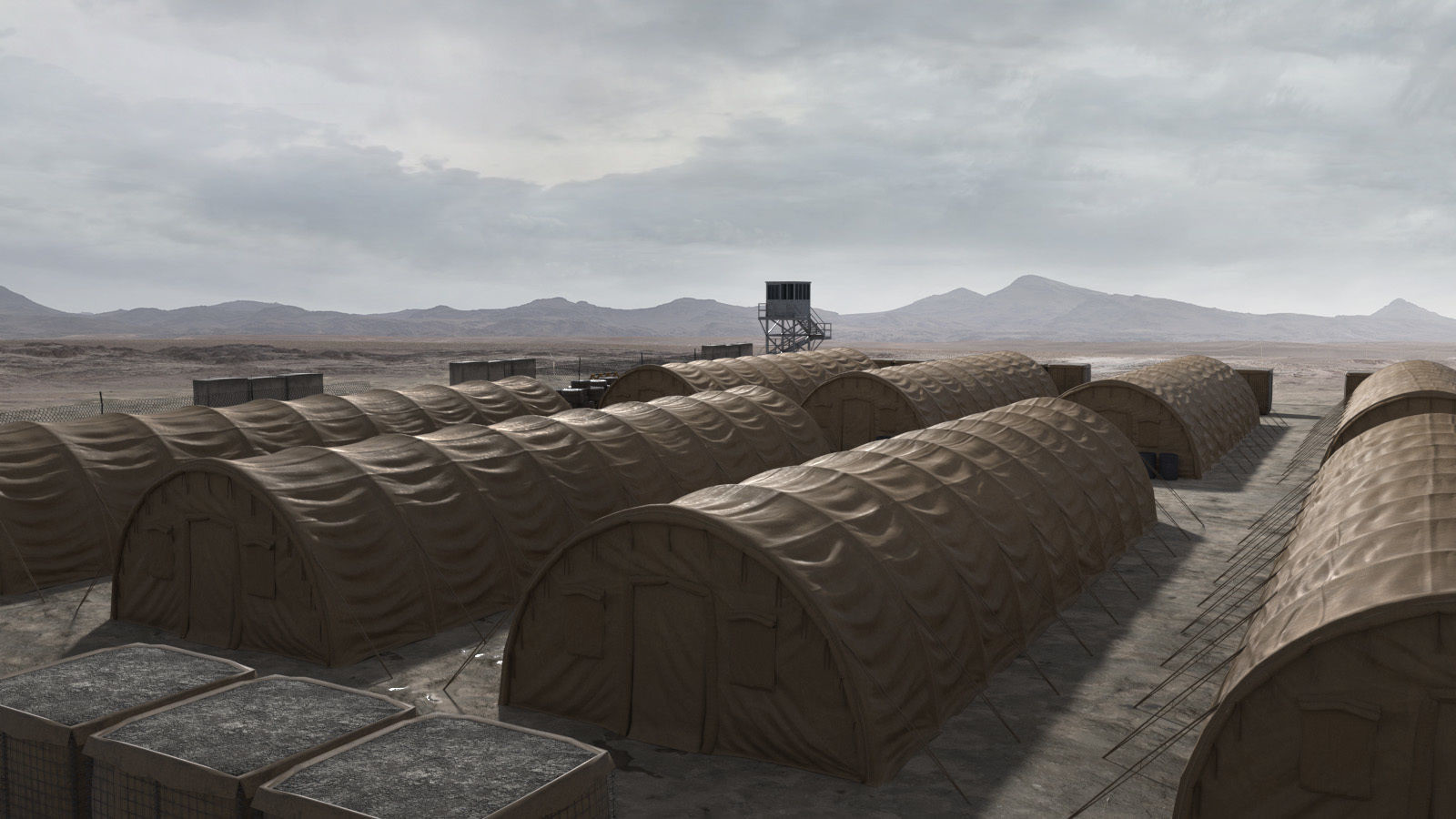
The Earl of Thomond's first camp was one of three principal fortified encampments (see CO112-098---- and CO112-101----) occupied by the Crown forces during the Siege and Battle of Kinsale in AD 1601 (O'Keeffe and Shiels 2008). Having been thwarted in their attempts to halt the march of Hugh O'Donnell through Munster, Lord President Sir George Carew and O'Brien, the Earl of Thomond, returned to Kinsale in late November 1601 (Silke 1970, 129). Shortly thereafter the Earl of Thomond was instructed to establish a fortified position on the west side of Kinsale. Fynes Moryson (secretary to Lord Mountjoy) records how 'four regiments were that night quartered by themselves, upon the west side of Kinsale, to invest the town more closely, and to keep O'Donnel and the Spaniards from joining together, which quarter or lesser camp was commanded by the Earl of Thomond' (Moryson 1735, vol. 2, 15). A painting of the siege and battle of Kinsale, now housed in Trinity College Dublin, shows this camp on the western end of the Ardmartin ridge. Its relative position to the Millwater and Ballinacurra streams (to the north and south respectively) and the extant 17th-century road network would suggest that the camp was located on the height of Liscahane More. This position commanded one of the main routes into the town whilst also affording uninterrupted views to the north. It would therefore have ideally suited the dual purpose of the camp, which was to prevent a Spanish breakout from the town while simultaneously guarding against the imminent approach of O'Donnell forces. The exact location of the camp on the ridge has not yet been established; a licensed metal detection survey (licence no. 06E0722) was carried out at a location on the ridge in August 2006 but the results were inconclusive due to the use here of 'basic slag' as a fertiliser in the 1960s/70s. (pers. comm. Paul O'Keeffe)
The above description is derived from 'The Archaeological Inventory of County Cork. Volume 5' (Dublin: Stationery Office, 2009).
Date of upload: 22 December 2009
The monument record does not grant public access. Check the route and ask the landowner before entering private land.
- What survives
- Recorded monument
Places near here
 Man-made underground passage in Coolvallanane BegMan-made underground passage · 805 yd
 Burial Gd (Disused)Burial ground · 1100 yd
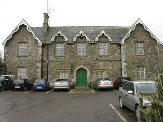 Kinsale Union Workhouseworkhouse · 1118 yd
 Cappagh Househouse · 1209 yd
 Battle of KinsaleMajor battlefield · 1409 yd
 Graveyard in Abbey-Lands, Part of (kinsale By., Ringcurran Par.)Graveyard · 1503 yd
 The Stone of DestinyMemorial · 1623 yd
 GaolCastle, tower house · 1675 yd
 Kinsale Ghost ToursHeritage attraction · 1.0 mi
 The Tumble CartHeritage attraction · 1.0 mi
 James FortVisitor information · 1.1 mi
 Ballinacurra WoodWood · 1.2 mi
Other information
Photo: Credit not shown in the picture search · Rights wording not checked; contact us if this picture should be removed