What is recorded here
In pasture, on N-facing slope, 300m N of road. Rectangular, slightly raised area (34m N-S; 50m E-W) enclosed by earthen bank (int. H 0.4m; ext. H 0.7m), planted with deciduous trees. At centre, sod-covered remains of church (CO044-01702-). No gravemarkers noted.
From the National Monuments Service (Archaeological Survey of Ireland) record CO044-017001
The monument record does not grant public access. Check the route and ask the landowner before entering private land.
- What survives
- Recorded monument
Places near here
Castle (in Ruins)Castle, unclassified · 673 yd Bushy Park HouseHouse · 1469 ydCorbally BridgeBridge · 1.3 miGraveyard in Killuntin NorthGraveyard · 2.1 miCappagh XViewpoint · 3.1 miGraveyard in GlenvilleGraveyard · 3.3 miDevonshire's HillMountain / peak · 3.6 miRathcormac massacreMassacre · 3.8 miCoolmucy WoodWood · 3.9 miSt Bartholomews WellHoly well · 4.0 miCorrin CrossMonument · 4.6 miBarrymore Castle or Castle LyonsHouse, fortified house · 5.2 mi
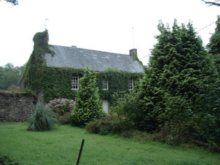 Bushy Park HouseHouse · 1469 yd
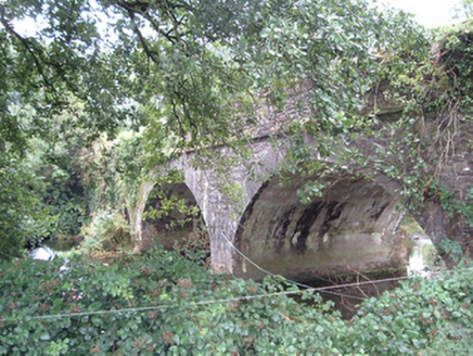 Corbally BridgeBridge · 1.3 miGraveyard in Killuntin NorthGraveyard · 2.1 miCappagh XViewpoint · 3.1 miGraveyard in GlenvilleGraveyard · 3.3 miDevonshire's HillMountain / peak · 3.6 mi
 Rathcormac massacreMassacre · 3.8 miCoolmucy WoodWood · 3.9 mi
.jpg/250px-St._Bartholomews_Holy_Well_(geograph_3090257).jpg "Photo: Hywel Williams, Wikimedia Commons · CC BY-SA 2.0") St Bartholomews WellHoly well · 4.0 mi
St Bartholomews WellHoly well · 4.0 mi Corrin CrossMonument · 4.6 mi
 Barrymore Castle or Castle LyonsHouse, fortified house · 5.2 mi
Pictures: National Inventory of Architectural Heritage; Revd. Matthew Morgan, Wikimedia Commons · Public domain; Hywel Williams, Wikimedia Commons · CC BY-SA 2.0; Mike Searle, Wikimedia Commons · CC BY-SA 2.0
More archaeology and monuments in County Cork · All of County Cork
What do you know about this place?