What is recorded here
Situated on a slight E-W ridge in a low-lying landscape. The parish church of Derrypatrick (ME043-010----) is within a D-shaped graveyard (dims c. 28m NE-SW; c. 28m NW-SE) which has straight sides at SE where there is a NE-SW public road, and at SW. It is defined by masonry walls on every side except the SW where there is an earthen bank or scarp, which suggests that it may have been truncated on this side. The bullaun stone (ME043-010002-) and some pieces from ogee-headed windows are in the graveyard, while the few headstones are of 18th and 19th century date.
From the National Monuments Service (Archaeological Survey of Ireland) record ME043-010001
Places near here
Photo credits
- National Inventory of Architectural Heritage
- Willow, Wikimedia Commons · CC BY 2.5
- C O'Flanagan, Geograph · CC BY-SA 2.0
- J. Stirling Coyne, Wikimedia Commons · Public domain
- C O'Flanagan, Geograph · Creative Commons Attribution-ShareAlike 2.0
- Thomas Nugent, Geograph · CC BY-SA 2.0
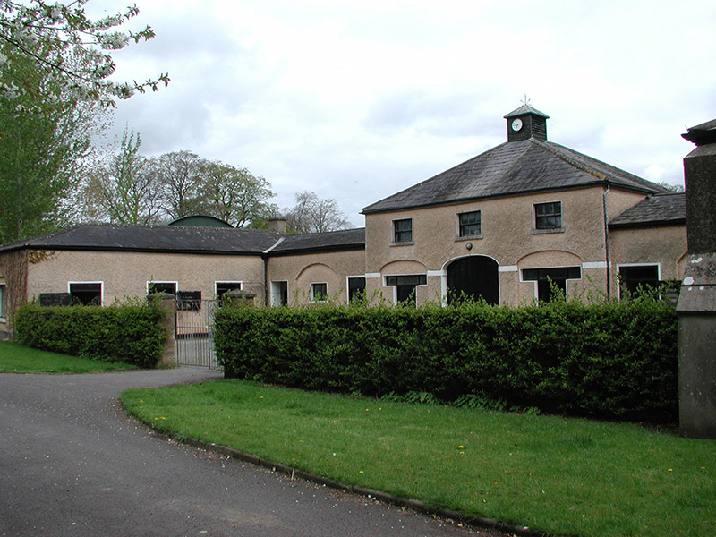 Galtrim HouseStables · 1.4 mi
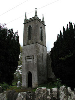 Saint Mary's Church (Galtrim)Church/chapel · 1.5 mi
 Railway Woods (North)Forest · 2.5 mi
 European ash3.1 mi
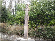 Dunsany CrossCross, Wayside cross · 3.2 mi
 Dangan CastleCastle, tower house · 3.4 miMullaghMountain / peak · 3.6 mi
 IndicatedGraveyard · 3.8 mi
 Killeen CastleCastle, tower house · 3.8 mi1798 MemorialMemorial · 4.3 miLarchil Arcadian GardensHeritage attraction · 4.4 miLismahon 1798 MemorialMonument · 5.8 mi
More archaeology and monuments in County Meath · All of County Meath
What do you know about this place?Tap to add a comment or ask a question