What is recorded here
On the S edge of a narrow E-W valley, on the Naas to Glendalough pilgrimage route, with an old laneway (KD024-032----) just to the N possibly forming part of that route. Toberkevin, a holy well (KD-24-021----), lies c. 150m to the ESE. An almost square, overgrown area (c. 50m N-S; c. 50m E-W) is enclosed by a stone wall. Contains a ruined church (KD024-020----) in which three cross slabs (KD024-020002-, KD024-020003- and KD024-020004-) and fragment of a font (KD024-020005-) were recorded in 1985 (Healy SMR file). Legible gravemarkers date from 19th and 20th century.
Compiled by: Gearóid Conroy
Date of upload: 13 June 2012
The monument record does not grant public access. Check the route and ask the landowner before entering private land.
- What survives
- Recorded monument
Places near here
 Church in RuinsChurch · 6 yd
 ToberkevinHoly well · 197 yd
 Hilltop enclosure in TipperkevinHilltop enclosure · 384 yd
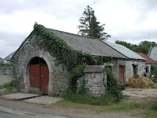 forge/smithyforge/smithy · 900 yd
 Blackhall Castle (in Ruins)Castle, tower house · 1.1 mi
 IndicatedCastle, tower house · 1.3 mi
 Sillagh Bog WoodForest · 1.8 mi
 Deer Park PlantationForest · 2.1 mi
 Councillor Jim MileyMemorial · 2.8 mi
 Proclamation of the Irish RepublicMemorial · 2.8 mi
 Poplar SquarePicnic place · 4.1 mi
 Lacken – Mass Path LoopWalking route · 5.3 mi