What is recorded here
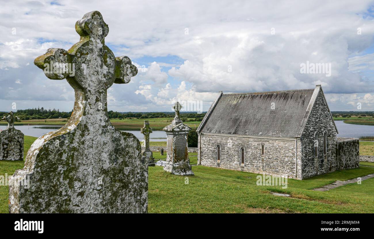
Clonlost church ruins (WM020-038----) stand in the centre of Clonlost graveyard, c. 55m N of a farmyard and c. 115m N of the site of Clonlost House. St Columbkille’s Well (WM020-037----) lies c. 110m to SE. Depicted on the 1913 ed. OS 25-inch map as a rectangular-shaped graveyard (approx. dims. 27m N-S x 42m E-W) enclosed by a concrete wall with laneway forming E boundary of burial ground.
Described in 1980 as the remains of a well preserved rectangular-shaped multi-period church standing to full height in centre of graveyard defined by a scarp and traces of a stone boundary wall which was replaced by a modern concrete wall that is straight sided at SW and NE with the hint of curve at SW. Graveyard is obscured by woodland and is not clearly visible today on Digital Globe aerial photography.
Compiled by: Alison McQueen, Vera Rahilly and Caimin O’Brien
Date of upload: 07 June 2019
The monument record does not grant public access. Check the route and ask the landowner before entering private land.
- What survives
- Recorded monument
Places near here
 Church (in Ruins)Chapel · 6 yd
 Ecclesiastical enclosure in ClonlostEcclesiastical enclosure · 43 yd
 St. Columbkilles WellHoly well · 128 yd
 CastleCastle, ringwork · 846 yd
 Edmondstown Castle (in Ruins)Castle, tower house · 1.1 mi
 Reynella Cottageoutbuilding · 1.3 mi
 GinkgoGinkgo · 1.7 mi
 ScregganWood · 6.0 mi
 Kells HillMountain / peak · 9.9 mi
 Croppies' GraveMemorial · 11 mi
 Partially hachuredFairy fort / earthen ringfort · 925 yd
 Enclosure in ClonlostEnclosure · 1231 yd