
What is recorded here
Situated on a steep, natural rise (109m/359ft OD), in gently undulating pasture with good views in all directions. Ringfort (WM020-013----) lies c. 95m to S. Annotated 'Fort' on the 1837 OS Fair Plan map where it is depicted as an subrectilinear-shaped earthwork (approx. dims. 66m N-S; 48m E-W). Levelled monument described in 1970 as having just been deep ploughed. All that remains is a scarp (max. H 1.50m) extending from SSE-S-SSW, however this could be naturally formed. The plough has revealed two concentrations of stones within the interior; their significance is unknown. An ESB pole stands near the centre of the site. Monument is visible today as a faint cropmark of an irregular suboval-shaped earthwork on Digital Globe aerial photography.
Compiled by: Alison McQueen, Vera Rahilly and Caimin O’Brien
Date of upload: 05 June 2019
The monument record does not grant public access. Check the route and ask the landowner before entering private land.
- What survives
- Recorded monument
Places near here
 Partially hachuredFairy fort / ringfort · 773 yd
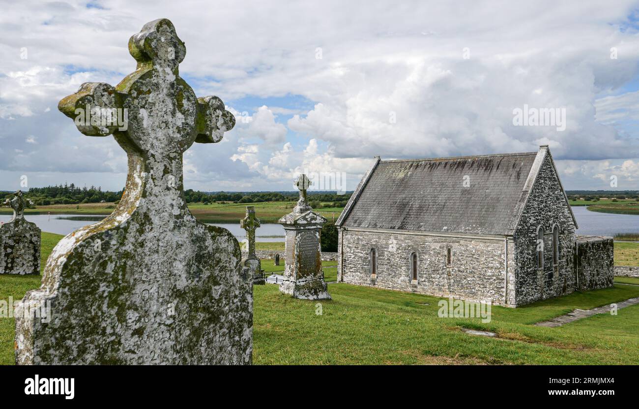 Ecclesiastical enclosure in ClonlostEcclesiastical enclosure · 1189 yd
 Church (in Ruins)Chapel · 1233 yd
 Saint Joseph's Catholic Churchchurch/chapel · 1273 yd
 CastleCastle, ringwork · 1416 yd
 GinkgoGinkgo · 1.5 mi
 OutlinedCastle, unclassified · 1.7 mi
 KnockeyonMountain / peak · 6.3 mi
 ScregganWood · 6.6 mi
 Kells HillMountain / peak · 9.6 mi
 Croppies' GraveMemorial · 11 mi
 St. Columbkilles WellHoly well · 1351 yd
Other information
Photo: Credit not shown in the picture search · Rights wording not checked; contact us if this picture should be removed