What is recorded here
Situated on a low, gently sloping oval-shaped drumlin (approx. dims. 40m E-W; 65m N-S; H 2.5m), in very undulating pasture, with restricted views. Enclosure (WM020-014----) lies c. 95m to N. Annotated 'Fort' on the 1837 OS Fair Plan. Depicted on the 1913 ed. OS 25-inch map as a suboval-shaped earthwork. Levelled monument described in 1998 as no surface remains visible. There is no trace of the scarp delimiting the site which was described in previous reports and it appears that this has been levelled out to blend in with the natural scarp of the ridge. Near the base of the ridge, on the E side, there is a band of dark green grass, which may suggest the presence of a backfilled fosse. Monument is visible today as a suboval-shaped earthwork on Digital Globe aerial photography.
Compiled by: Alison McQueen, Vera Rahilly and Caimin O’Brien
Date of upload: 05 June 2019
This remains an important historical record, but the official description says the monument is no longer visible or has been destroyed. The monument record does not grant public access. Check the route and ask the landowner before entering private land.
- What survives
- No visible remains or recorded as destroyed
Places near here
 Enclosure in ClonlostEnclosure · 157 yd
 Partially hachuredFairy fort / ringfort · 897 yd
 Church (in Ruins)Chapel · 1104 yd
 CastleCastle, ringwork · 1260 yd
 Saint Joseph's Catholic Churchchurch/chapel · 1429 yd
 GinkgoGinkgo · 1.5 mi
 Edmondstown Castle (in Ruins)Castle, tower house · 1.7 mi
 KnockeyonMountain / peak · 6.4 mi
 ScregganWood · 6.5 mi
 Kells HillMountain / peak · 9.6 mi
 Croppies' GraveMemorial · 11 mi
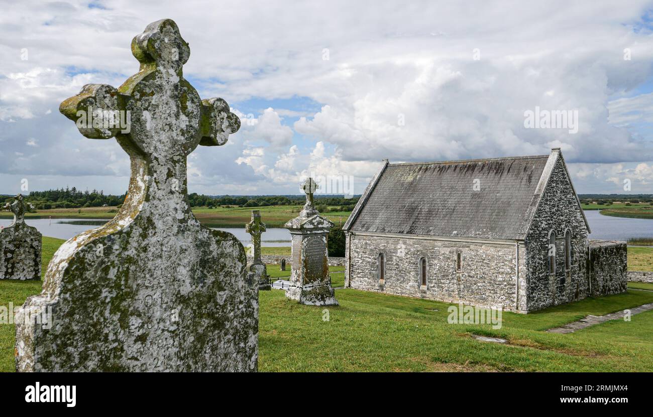 Ecclesiastical enclosure in ClonlostEcclesiastical enclosure · 1059 yd