
What is recorded here
At the W end of the summit of a hill which curves around to the S, in gently undulating pastureland. Another hill, c. 120m across the road to the W, is surmounted by a motte and bailey (TS059-014001-). According to Seymour (1916, 154) the church of 'Donhekly or Dunhogyl' is mentioned in the Papal Taxations of 1291 and…
Read the whole record
From the National Monuments Service (Archaeological Survey of Ireland) record TS059-016001
Places near here
Photo credits
- Maker not stated on source page, fi.pinterest.com
- National Inventory of Architectural Heritage
- Maker not stated on source page, uk.pinterest.com
- Maker not stated on source page, bodymindspiritjourneys.com
- Maker not stated on source page, www.dreamstime.com
- Maker not stated on source page, commons.wikimedia.org
- Dublin Castle RIC, Wikimedia Commons · Public domain
- Kmcnamee, Wikimedia Commons · CC BY-SA 4.0
- Golfing in Ireland; photographer not stated, Source publisher
- Mike Searle, Wikimedia Commons · CC BY-SA 2.0
- Maker not stated on source page, www.thejournal.ie
 Site of CastleCastle, unclassified · 190 yd
Explorer Tom Site of Castle in Moatquarter has a fan club that meets every Tuesday to mourn its absence. It sits right on top of the…
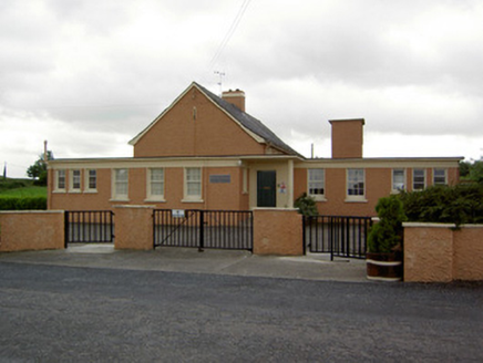 Garryshane National SchoolSchool · 356 yd
Explorer Tom Garryshane National School is still pretending that a cow actually tried to buy the whole lot back in the sixties. It’s…
 Enclosure in Pallas (donohill Par.)Enclosure · 1551 yd
Explorer Tom Enclosure in Pallas has a curse that only affects people who don’t wave when they pass by, sitting on the upper edge of…
 Kilmucklin Church (in ruins)Church · 1.3 mi
Explorer Tom Kilmucklin Church is having a bit of a feud with the next village over something daft, probably who gets to claim they…
 Kilpatrick Church (in Ruins)Graveyard · 1.7 mi
Explorer Tom Kilpatrick Church would be the person at a wedding who stands in the corner pretending to know everyone while actually…
 Kilpatrick CemeteryGraveyard · 1.7 mi
Explorer Tom After a few pints, Kilpatrick Cemetery would confess that it actually prefers the company of foxes to people because…
 Soloheadbeg AmbushAmbush · 1.7 mi
Explorer Tom The Soloheadbeg Ambush is where some guys hid in a cart of guns and waited for the wrong time to fire. The local sheep…
 CairnCairn, unclassified · 2.0 mi
Explorer Tom This cairn was nearly sold to a farmer as a replacement for a missing horse because nobody could tell the difference…
 Solohead GAA pitchGAA ground · 3.8 mi
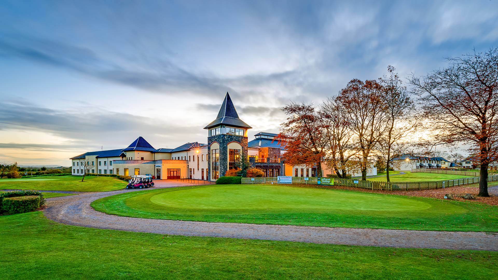 Ballykisteen Golf ClubGolf course · 4.3 mi
 Oola Castle (in ruins)Castle, tower house · 4.5 mi
Explorer Tom Oola Castle is hiding a scandal on Oola Hill that has been whispered about for centuries without ever being proven. It…
 Oola Castle RuinsViewpoint · 4.5 mi
Explorer Tom Oola Castle Ruins in County Limerick is basically a haunted viewpoint that screams about its missing walls. I bet it…
More archaeology and monuments in County Tipperary · All of County Tipperary

What do you know about this place?Tap to add a comment or ask a question