
What is recorded here
At the W end of the summit of a hill which curves around to the S, in gently undulating pastureland. Another hill, c. 120m across the road to the W, is surmounted by a motte and bailey (TS059-014001-). The church is roughly centrally placed within a graveyard (TS059-016001-). The church (int. dims. 9.6m E-W; 7.6m N-S), orientated E-W, is composed of sandstone rubble, roughly coursed, the majority being quite thin slabs of stone. The northernmost end of the E gable (L 3m; T 1.1m) survives, as does the W gable (T 1.08m) and the W end of the N (L 6.2m; T 0.87m) and S (L 5.5m; T 0.8m) walls, though the NW angle is missing. There is a large breach (Wth 1.65m) in the surviving N wall. The base of the wall of the SE angle is visible, and the line of the external face of the N wall is discerned by a drop in ground level. The church may have had a slightly narrower chancel, as the external width of the E end appears to be 8.7m while that of the W end is 9.27m. The W gable is heavily ivy-covered and no features are visible. The E gable has a window splay (inner embrasure 0.6m above the int. ground level; outer embrasure 1.7m above the int. ground level) which starts splaying c. 1.4m from the NE angle, though the angle itself is missing. There are two architectural fragments in the graveyard re-used as grave-markers, a sandstone corbel (H above ground 0.4m; Wth 0.17m; D 0.14m) 3.7m E of the S end of the E gable, and another corbel (H above ground 0.45m; Wth 0.3m; D 0.21m), lichen covered, 2m E of the N end of the E gable.
Compiled by: Jean Farrelly
Date of upload: 26 August 2011
The monument record does not grant public access. Check the route and ask the landowner before entering private land.
- What survives
- Recorded monument
Places near here
 St. James WellHoly well · 143 yd
 Donahill Hill FortArchaeological place · 174 yd
 Donohill MoatCastle, motte and bailey · 183 yd
 Garryshane National Schoolschool · 350 yd
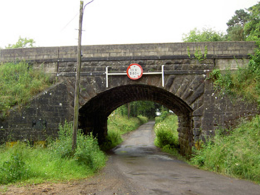 Ballyrobin Bridgebridge · 1.0 mi
 Soloheadbeg Ambushambush · 1.7 mi
 Shanbally fortCastle, ringwork and bailey · 1.8 mi
 Green Field ParkWood · 2.0 mi
 Soloheadbeg Ambush SiteMemorial · 2.4 mi
 European ashEuropean ash · 4.2 mi
 I.R.A. 3rd. Tipperary Brigade MemorialMemorial · 4.4 mi
 It's a long way to TippereryHeritage attraction · 4.7 mi
Other information
Photo: Credit not shown in the picture search · Rights wording not checked; contact us if this picture should be removed