
Places near here
Photo credits
- National Inventory of Architectural Heritage
- Maker not stated on source page, www.gpsmycity.com
- Maker not stated on source page, www.gettyimages.co.uk
- Neil Theasby, Geograph · CC BY-SA 2.0
- Maker not stated on source page, global-geography.org
- David Purchase, Geograph · Creative Commons Attribution-ShareAlike 2.0
- Maker not stated on source page, www.flickr.com
- Maker not stated on source page, tr.pinterest.com
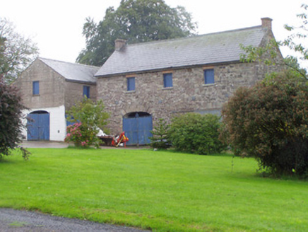 Castle CookeOutbuilding · 496 yd
Explorer Tom Castle Cooke outbuilding in Castlecooke is basically a car garage with a PhD in stonework, and it knows it. It would…
 Macroney Church (in Ruins)Church · 1.2 mi
Explorer Tom Macroney Church in Macroney Lower is having a quiet rivalry with Blarney Castle because it’s less famous but way more…
 Baker's BridgeBridge · 1.2 mi
Explorer Tom Baker's Bridge in Billeragh West has three arches that look like they’re about to sneeze across the River Araglin.…
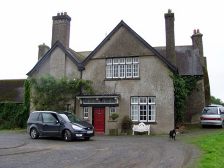 Leitrim HouseHouse · 1.6 mi
Explorer Tom Leitrim House in Knockaskehane has a core from the late seventeenth century, with Tudor Revival additions added later.…
 Graveyard in BallynalackenGraveyard · 1.8 mi
Explorer Tom Graveyard in Ballynalacken has been gossiping since 1779, with a hedge that probably knows everyone’s business. The…
 Araglin BridgeBridge · 1.8 mi
Explorer Tom Araglin Bridge hums a lullaby about old sandstone dreams while cars zoom over its back. It’s hump-backed, which means…
 kiln1.9 mi
Explorer Tom Kiln in Ballyderown is huge, made of concrete, and has crenellations on top like it’s a castle that forgot to be a…
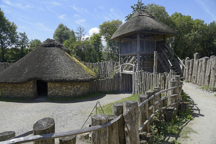 Fairy fort / earthen ringfort in Ballynaparka SouthFairy fort / earthen ringfort · 1.9 mi
Explorer Tom Fairy fort / earthen ringfort in Ballynaparka South is sitting atop a ridge. But levelled! The only clue is that the…
 Douglas HouseHouse · 1.9 mi
Explorer Tom Douglas House in Ballyderown has a pediment so wide it’s basically a runway for very fancy birds. It’s got an ornate…
 Elizabeth's BridgeBridge · 2.2 mi
Explorer Tom Elizabeth's Bridge in Ballynamuddagh has no idea who Elizabeth was, and neither do I. It’s a hump-back limestone bridge…
 Enclosure in CahergalEnclosure · 2.2 mi
Explorer Tom Enclosure in Cahergal is invisible under the trees, but the wind keeps picking on it because it looks like a sneeze…
 Ballyderown Castle (in Ruins)Castle, hall-house · 2.3 mi
Explorer Tom Ballyderown Castle sits on a cliff edge where the wind absolutely picks on it. This Anglo-Norman hall house has lost…
More archaeology and monuments in County Cork · All of County Cork

What do you know about this place?Tap to add a comment or ask a question