What is recorded here
To S of road. Trapezoidal graveyard (c. 35m N-S; c. 50m E-W) enclosed by low earthen bank topped with hedge; entrance to N via stile and gate with piers. Ruin of parish church of Leitrim (14396) in centre. Graveyard in use, earliest headstone noted dated 1779; some low uninscribed gravemarkers also noted; displaced headstones piled against E end of church. Only headstones to N of church are of recent date.
The above description is derived from the published 'Archaeological Inventory of County Cork. Volume 4: North Cork' (Dublin: Stationery Office, 2000). In certain instances the entries have been revised and updated in the light of recent research.
Date of upload/revision: 14 January 2009
A local ancient tomb; wider significance not recorded.
The monument record does not grant public access. Check the route and ask the landowner before entering private land.
- What survives
- Recorded monument
Places near here
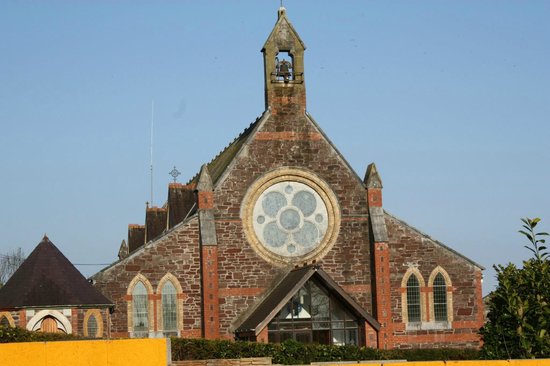 Leitrim Church (in Ruins)Church · 26 yd
 Quarry in LeitrimQuarry · 1088 yd
 Leitrim Castle (in Ruins)Castle, Anglo-Norman masonry castle · 1396 yd
 Cliff-edge fort in BallyderownCliff-edge fort · 1.6 mi
 Macroney CastleCastle, tower house · 1.7 mi
 Natural heritage of CoolagowanVisitor information · 1.8 mi
 Grave YardGraveyard · 2.0 mi
 Life Space ParkPicnic place · 2.0 mi
 Saint Micheal's Holy WellSpring · 2.0 mi
 Strawhall WoodForest · 3.8 mi
 Kent BridgeMemorial · 4.1 mi
 Graveyard in FermoyGraveyard · 4.2 mi