What is recorded here
Depicted as a D-shaped area on the 1838 OS 6-inch map and as a rectangular area (map dims. c. 45m NW-SE; c. 35m NE-SW) on the 1938-9 OS 6-inch map. Artificial rise towards centre of graveyard, which appears to include structure which may be the associated church (CW008-017001-). Large number of headstones, including one of eighteenth-century date. Bullaun stone (CW008-017002-) lies short distance SE of graveyard (CW008-017003-).
Compiled by: Jean Farrelly
Date of upload: 19 August 2011
The monument record does not grant public access. Check the route and ask the landowner before entering private land.
- What survives
- Recorded monument
Places near here
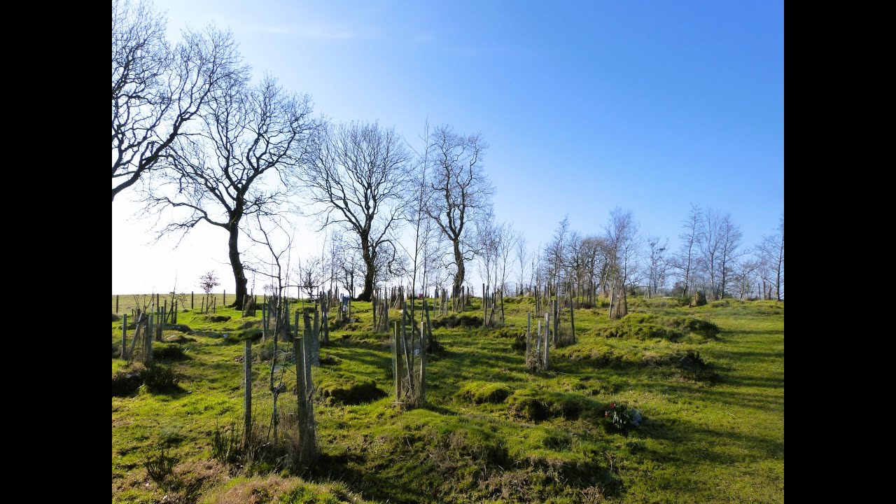 Burial GroundChurch · 55 yd
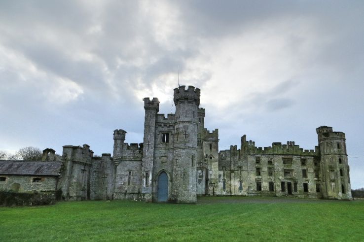 Enclosure in BusherstownEnclosure · 98 yd
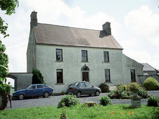 Busherstown Housefarm house · 369 yd
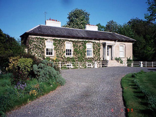 Bennekerry Lodgehouse · 1159 yd
 Graigue Castle in ruinsCastle, unclassified · 1410 yd
 Site of CastleCastle, unclassified · 1588 yd
 Brownshill Portal TombVisitor information · 1.5 mi
 Cork oakCork oak · 2.4 mi
 European YewEuropean Yew · 2.5 mi
 Kilmurry Church (in ruins), GraveyardChurch · 3.5 mi
 Carlow County MuseumMuseum · 3.5 mi
 Church (in ruins), GraveyardChurch · 4.6 mi