What is recorded here
Situated in the SW corner of a field of pasture immediately N of a road, however burial ground originally extended to S side of road. On fairly level ground with good views to N, W and E. Named 'Grave Yard' on the 1840 OS 6-inch map and shown as a sub-rectangular enclosure (c. 35m N-S; c. 45m E-W) bisected by a road. Named 'Grave Yard (disused)' on the 1927 OS 6-inch map and only the NE quadrant of the enclosure is shown in the SW corner of a field immediately NW of the road. Only this section of the enclosure is now evident consisting of an arc of earthen bank (ext. H 0.4m; Wth 2.4m; int. H 0.1m) enclosing a wedge-shaped area (23m E-W; 14m N-S) otherwise defined by a field boundary to W and a public road to S. There are no evident gravemarkers. There is no evident trace of the enclosure on the W side of the field boundary or S of the road. Known locally as Cooneen graveyard and described in 1840 as following; 'Quoneen is a small burial place for children. It is supposed by the natives to be the place where Dean Story (formerly of Bilboa Court [LI015-017----]) was interred. It is about one chain [20m] in diameter' (OSNB, Doon parish, 49).
Situated in the SW corner of a field of pasture immediately N of a road, however burial ground originally extended to S side of road. On fairly level ground with good views to N, W and E. Named 'Grave Yard' on the 1840 OS 6-inch map and shown as a sub-rectangular enclosure (c. 35m N-S; c. 45m E-W) bisected by a road. Named 'Grave Yard (disused)' on the 1927 OS 6-inch map and only the NE quadrant of the enclosure…
From the National Monuments Service (Archaeological Survey of Ireland) record LI015-016
The monument record does not grant public access. Check the route and ask the landowner before entering private land.
- What survives
- Recorded monument
Places near here
Photo credits
- John, Geograph · CC BY-SA 2.0
- National Inventory of Architectural Heritage
- Antony Dixon, Geograph · Creative Commons Attribution-ShareAlike 2.0
- Mike Searle, Geograph · CC BY-SA 2.0
- Jowaninpensans, Wikimedia Commons · CC BY-SA 4.0
- Mike Searle, Wikimedia Commons · CC BY-SA 2.0
- Antony Dixon, Wikimedia Commons · CC BY-SA 2.0
- Hywel Williams, Geograph · Creative Commons Attribution-ShareAlike 2.0
- Colin Park, Geograph · CC BY-SA 2.0
 Blackboy BridgeBridge · 499 yd
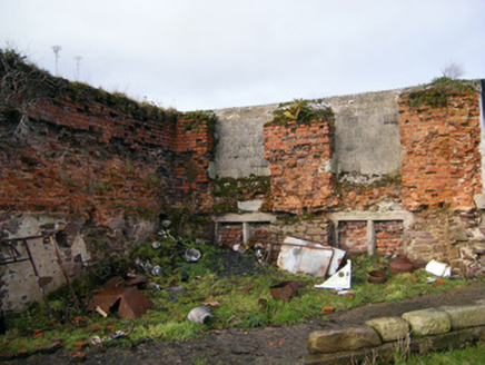 Bilboa CourtCountry house · 1162 yd
 Bilboa BridgeBridge · 1436 yd
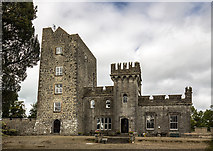 Castle GardeCountry house, castle/fortified house · 1.6 mi
 Christ Church (Doon)Church/chapel · 1.6 mi
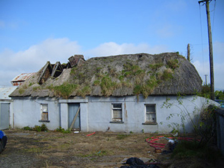 farm house1.7 mi
 Coonagh CastleCastle · 2.8 mi
 Slieve FelimMountain / peak · 3.9 mi
 Kilduff CastleCastle · 4.0 mi
 Grave YardGraveyard · 17 mi
 Ladys WellHoly well · 17 mi
 SlievereaghMountain / peak · 17 mi
More archaeology and monuments in County Limerick · All of County Limerick
What do you know about this place?