
What is recorded here
From the National Monuments Service (Archaeological Survey of Ireland) record CO083-075001
Places near here
Photo credits
- National Inventory of Architectural Heritage
- Maker not stated on source page, commons.wikimedia.org
- Maker not stated on source page, www.islands.com
- Mike Searle, Wikimedia Commons · CC BY-SA 2.0
- Maker not stated on source page, www.irelandhighlights.com
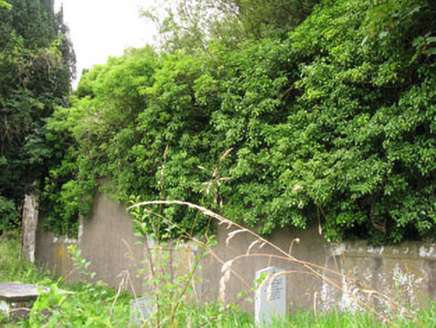 St Helen's Church of Ireland ChurchChurch/chapel · 1 yd
Explorer Tom St Helen's Church of Ireland Church is a ruin from 1820 that lost its roof but kept its style. The carved windows are…
 Church (Site of)Church · 4 yd
Explorer Tom Church in Bellmount Lower would describe itself as a 'retired gentleman who prefers his solitude'. It sits right next…
 Bullaun stone (present location) in Bellmount LowerBullaun stone (present location) · 84 yd
Explorer Tom Bullaun stone in Bellmount Lower is lying along a field boundary. A chunk is missing, so it’s like a loaf of bread that…
 sign post236 yd
Explorer Tom Sign post in Bellmount Lower is wearing a harp motif like it’s the national anthem of the road. Erected around 1940…
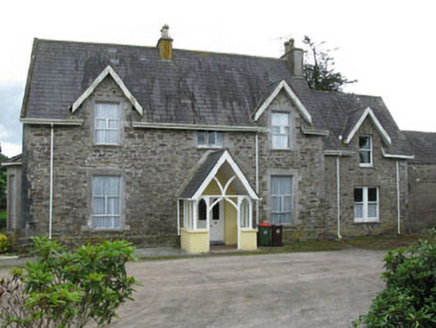 Bellmount HouseHouse · 495 yd
Explorer Tom Bellmount House has rough walls and fine windows, which is a bit of a contradiction. It’s got an ornate gate lodge…
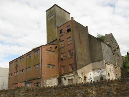 Bellmount MillsMill (water) · 575 yd
Explorer Tom Bellmount Mills ended up in the wrong place because it mistook Crookstown for a more vibrant industrial hub back in the…
 Clodah CastleCastle · 1020 yd
Explorer Tom Clodah Castle in County Cork had a fox take charge of the place one winter. The fox sat on the throne and made…
 Clodah Castle (in Ruins)Castle, tower house · 1021 yd
Explorer Tom Clodah Castle is a square four-storey tower right on the shoulder of the Bride River valley. It’s got a murder hole…
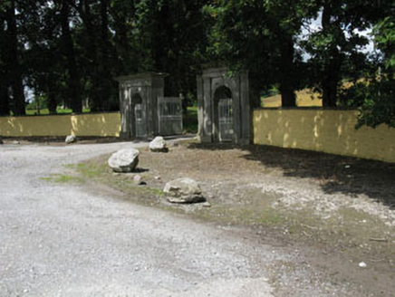 Crookstown HouseGates/railings/walls · 1103 yd
Explorer Tom Crookstown House gates in Inchirahilly are an imposing entrance from 1770 with paired round-headed arches. The…
 post box1148 yd
Explorer Tom Post box in Inchirahilly is standing guard with more pride than a king who just lost his throne but kept the crown.…
 Bridelands HouseHouse · 1233 yd
Explorer Tom Bridelands House is an early nineteenth-century Georgian house with crenellated extensions that make it look like a…
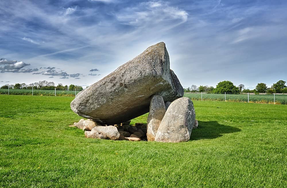 DolmenStone circle, five-stone · 1638 yd
Explorer Tom Dolmen in Bellmount Upper is half broken with one side shattered and another lying flat, which the local sheep think is…
More archaeology and monuments in County Cork · All of County Cork

What do you know about this place?Tap to add a comment or ask a question