
What is recorded here
In central position within early ecclesiastical enclosure (CO071-108001-); rectangular graveyard (c. 60m SW-NE; c. 25m NW-SE) enclosed by drystone wall. In use; earliest inscribed headstone noted dated 1765; low uninscribed gravestones concentrated towards E end. In centre, site of ancient parish church (CO071-108004-) of Cannaway; no visible surface trace. Church here in ruins by 1639; in 1700 only half the walls were standing (Brady 1863, vol.1, 55-6). In NW corner site of C of I parish church (CO071-108003-), built in 1814 (ibid.,58) and described by Lewis (1837, vol. 1, 248) as 'plain building with a lofty square tower'; in ruins by 1900 and demolished in 1930s (Hartnett 1939, 143); small pile of rubble all that now remains. Ruined rectangular building (long axis N-S) shown on 1842 OS 6-inch map immediately outside N wall of graveyard, towards E end; smaller rectangular structure to W. Hurley and O'Flaherty (1981, 55) conclude from surviving descriptions that former was 'a house which probably belonged to the Longs, the hereditary ecclesiastical family who occupied the site for much of the medieval period'; no visible surface trace of either structure. Stone (CO071-108005-) inscribed with 7th-century Maltese cross found in field immediately to NW in 1970s.
The above description is derived from the published 'Archaeological Inventory of County Cork. Volume 3: Mid Cork' (Dublin: Stationery Office, 1997). In certain instances the entries have been revised and updated in the light of recent research.
Date of upload/revision: 14 January 2009
Image provided by and copyright of Amanda Clarke 2016-2022 https://holywellscorkandkerry.com/
A local ancient tomb; wider significance not recorded.
The monument record does not grant public access. Check the route and ask the landowner before entering private land.
- What survives
- Recorded monument
Places near here
 Church (Site of)Church · 79 yd
 Fulacht FiadhFulacht fia · 517 yd
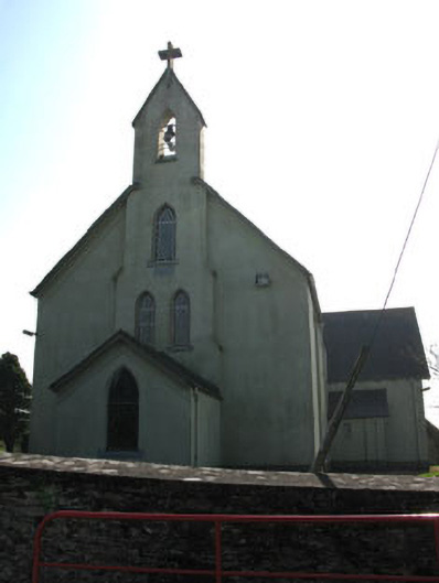 St John the Baptist Roman Catholic Churchchurch/chapel · 1236 yd
 Carrigadrohid Hydro Electric Power Stationdam/reservoir/basin · 1360 yd
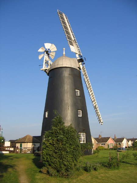 Steven's WoodWood · 1.2 mi
 Carrigadrohid Castle (in Ruins)Castle, tower house · 1.3 mi
 Carrigadrohid CastleHeritage attraction · 1.3 mi
 Carrigadrohid Castle InfoVisitor information · 1.3 mi
 Mashanaglass Castle (in Ruins)Castle, tower house · 1.8 mi
 Leap WoodWood · 1.9 mi
 Priest MemorialMemorial · 2.9 mi
 Independence MuseumMuseum · 3.1 mi
Other information
Photo: Credit not shown in the picture search · Rights wording not checked; contact us if this picture should be removed