
What is recorded here
On W side of road; subrectangular graveyard (c. 30m E-W; c. 50m N-S) enclosed by overgrown earthen bank. O Buachalla and Henchion (1964, 115 ) note 28 headstones, including two for Catholic priests dated 1759 & 80; Coleman (1913-16a, 25) records inscriptions dating from 1753; headstones confined to area around centrally placed ruined parish church of Ballyspillane (CO065-08302-) but with group of low uninscribed gravemarkers to NW.
The above description is derived from the published 'Archaeological Inventory of County Cork. Volume 2: East and South Cork' (Dublin: Stationery Office, 1994). In certain instances the entries have been revised and updated in the light of recent research.
Date of upload/revision: 14 January 2009
The monument record does not grant public access. Check the route and ask the landowner before entering private land.
- What survives
- Recorded monument
Places near here
 Fulacht fia in Broomfield EastFulacht fia · 1378 yd
 Thrashing MachineMill, threshing · 1.0 mi
 Enclosure in ElfordstownEnclosure · 1.1 mi
 Broomfield Househouse · 1.2 mi
 Graveyard in Broomfield WestGraveyard · 1.4 mi
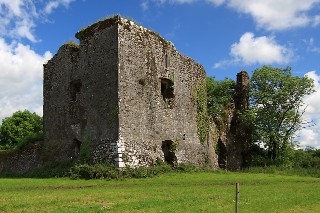 Cahermone Castle (in Ruins)Castle, tower house · 1.4 mi
 Cahermone CastleCastle · 1.4 mi
 Midleton IRA MonumentMemorial · 2.0 mi
 Jameson Distillery MidletonHeritage attraction · 2.1 mi
 Noel Collins BridgeVisitor information · 2.7 mi
 Ballyannan (Bluebell) WoodsForest · 3.1 mi
 N25 Picnic SitePicnic place · 3.2 mi
Other information
Photo: Credit not shown in the picture search · Rights wording not checked; contact us if this picture should be removed