What is recorded here
Cropmark (CUCAP, ALS 96) shows univallate circular enclosure (diam. c. 27m).
The above description is derived from the published 'Archaeological Inventory of County Cork. Volume 2: East and South Cork' (Dublin: Stationery Office, 1994). In certain instances the entries have been revised and updated in the light of recent research.
Date of upload/revision: 14 January 2009
A local fairy fort (ringfort/rath); wider significance not recorded.
The monument record does not grant public access. Check the route and ask the landowner before entering private land.
- What survives
- Recorded monument
Places near here
 Mound in BallyedekinMound · 306 yd
 IndicatedHouse, vernacular house · 418 yd
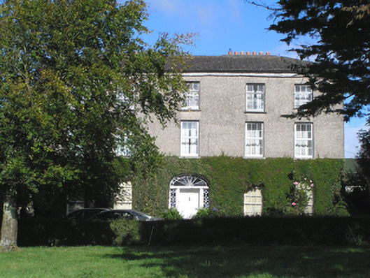 Stump Hillhouse · 555 yd
 Grave YardGraveyard · 940 yd
 Ballintotis CastleCastle · 1479 yd
 Ballintotis Castle (in Ruins)Castle, tower house · 1479 yd
 N25 Picnic SitePicnic place · 1.0 mi
 Pigeon WoodWood · 1.9 mi
 William Heffernan MemorialMemorial · 2.5 mi
 WW1 MonumentMemorial · 2.5 mi
 Mitchell's WoodWood · 2.6 mi
 Noel Collins BridgeVisitor information · 2.9 mi