What is recorded here
On the level crest at the W end of a partially dug-away esker, in pastureland. A D-shaped area (diam c. 58m E-W) with straight E-side (L c. 48m) is enclosed by a modern, mortared stone wall. It is still in use and the earliest legible burial markers date from the 18th c. It contains a church (KD003-019001-) at the centre, in which there is a 16th century inscribed slab (KD003-019003-) and a possible 17th century inscribed slab (KD003-019004-), while Fitzgerald (1899-1902, 133) recorded a third, 16th century, slab (KD003-019005-) in the graveyard which was not located.
Compiled by: Gearóid Conroy
Date of upload: 10 June 2011
The monument record does not grant public access. Check the route and ask the landowner before entering private land.
- What survives
- Recorded monument
Places near here
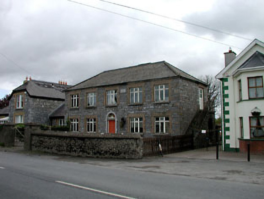 Broadford Schoolschool · 436 yd
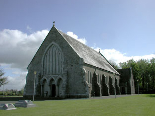 Saint Mary's Catholic Churchchurch/chapel · 989 yd
 More O’Ferrall Celtic CrossMonument · 1.6 mi
 Site of CastleCastle, unclassified · 1.6 mi
 Enclosure in MoyvallyEnclosure · 1.7 mi
 Croppies' GraveMemorial · 1.9 mi
 Site of Balrinnet CastleCastle, unclassified · 2.5 mi
 Abandoned Kinnegad CanalWood · 3.3 mi
 Buggan's WoodWood · 3.6 mi
 The Grill ShackHeritage attraction · 8.5 mi
 Candle HillMountain / peak · 20 mi
 Saint Finian's WellSpring · 20 mi