What is recorded here
At the centre of a graveyard (KD003-019002-). An inscribed slab (KD003-019003-) commemorates the restoration of the church in 1554. A rectangular structure (int. dims. traceable L 13.7m E-W; Wth 5.6m N-S) is defined by low (H 1.5m), gapped, ivy-clad N, E and S walls, built of roughly coursed, undressed, limestone blocks. A 19th century tomb overlies the E end of the N wall, and an 18thC grave marker is inserted onto the S wall line near its E end. The base of a window embrasure survives at the W end of the S wall but a small pilaster-like projection (T 0.2m) immediately E of the window is not matched by a corresponding feature in the N wall. The interior also contains a possible 17th century inscribed slab (KD003-019004-) and Fitzgerald (1899-1902, 133-4) recorded a third, 16th century slab (KD003-019003-) which was not located.
Compiled by: Gearóid Conroy
Date of upload: 10 June 2011
The monument record does not grant public access. Check the route and ask the landowner before entering private land.
- What survives
- Recorded monument
Places near here
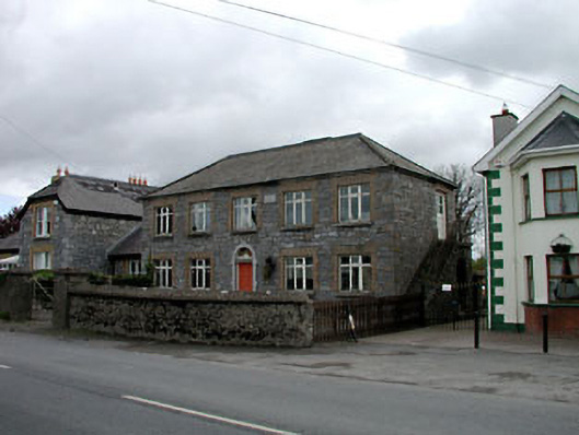 Broadford Schoolschool · 451 yd
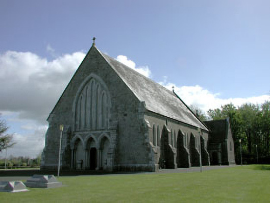 Saint Mary's Catholic Churchchurch/chapel · 1003 yd
 More O’Ferrall Celtic CrossMonument · 1.6 mi
 Site of CastleCastle, unclassified · 1.6 mi
 Enclosure in MoyvallyEnclosure · 1.7 mi
 Croppies' GraveMemorial · 1.8 mi
 Site of Balrinnet CastleCastle, unclassified · 2.5 mi
 Abandoned Kinnegad CanalWood · 3.3 mi
 Buggan's WoodWood · 3.6 mi
 The Grill ShackHeritage attraction · 8.5 mi
 Candle HillMountain / peak · 20 mi
 Saint Finian's WellSpring · 20 mi