
What is recorded here
Visible as the western-half of a possible circular enclosure on a 1973 aerial photograph (GSI N598-9 ). On level, poorly drained pastureland. There was no visible surface trace of a monument in 1985 and, according to local information, this field was cleared in the 1970's (SMR file).
Compiled by: Gearóid Conroy
Date of upload: 10 June 2011
A local fairy fort (ringfort/rath); wider significance not recorded.
The monument record does not grant public access. Check the route and ask the landowner before entering private land.
- What survives
- Recorded monument
Places near here
 Concentric enclosure in ClonguiffinConcentric enclosure · 925 yd
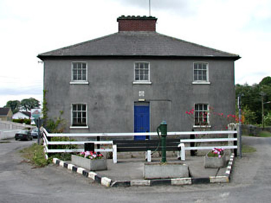 Longwood Garda Síochána Stationhouse · 1332 yd
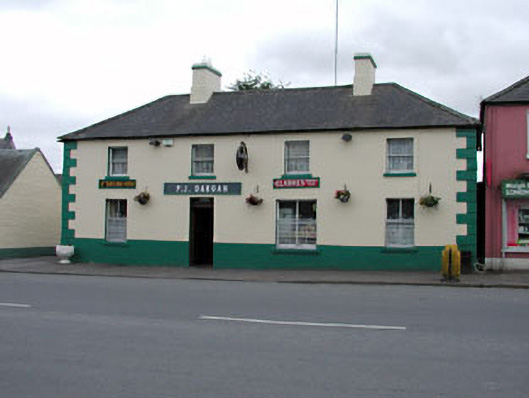 P.J. Darganhouse · 1374 yd
 Site of CastleCastle, unclassified · 1547 yd
 Enclosure in Ballinderry (moyfenrath Lower By.)Enclosure · 1.2 mi
 Common LimeCommon Lime · 2.9 mi
 European BeechEuropean Beech · 3.0 mi
 Croppies' GraveMemorial · 3.1 mi
 Bawn in Newcastle (moyfenrath Lower By.)Bawn · 3.1 mi
 The Grill ShackHeritage attraction · 8.3 mi
 Candle HillMountain / peak · 19 mi
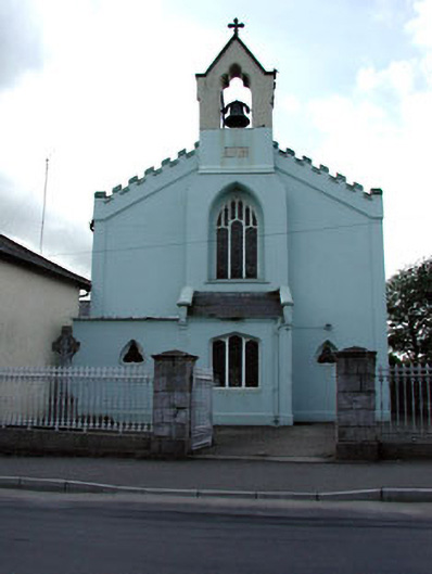 Catholic Church of the Assumptionchurch/chapel · 1375 yd
Other information
Photo: Credit not shown in the picture search · Rights wording not checked; contact us if this picture should be removed